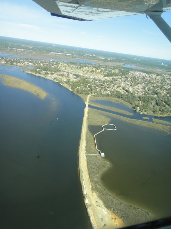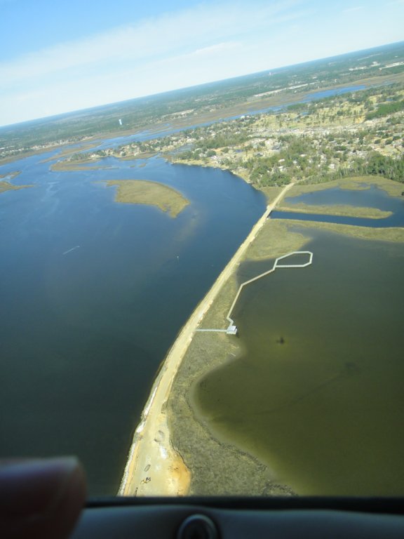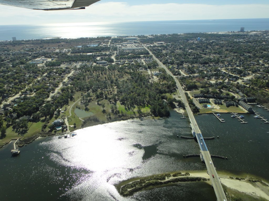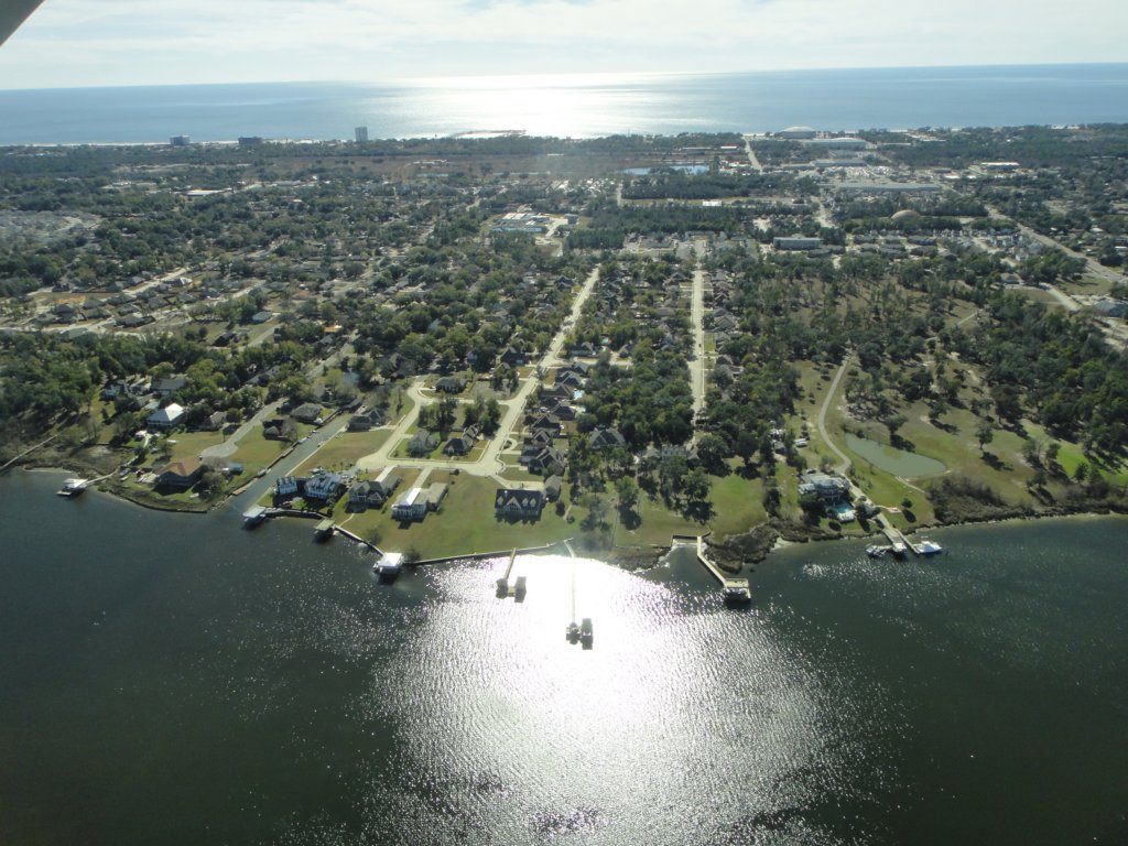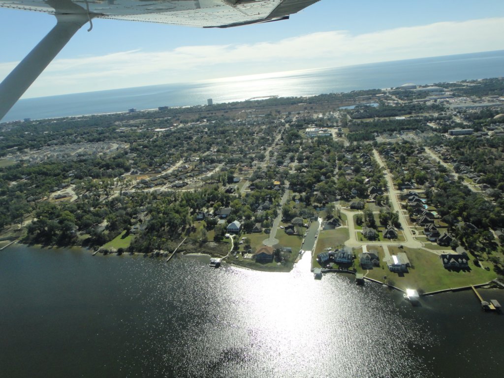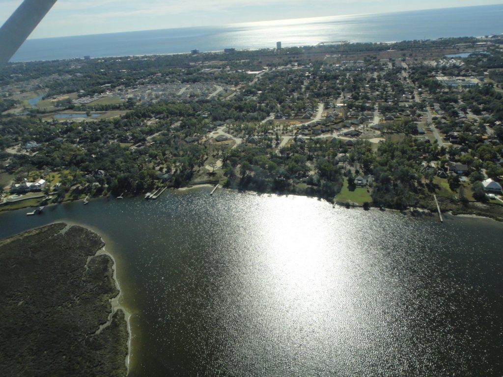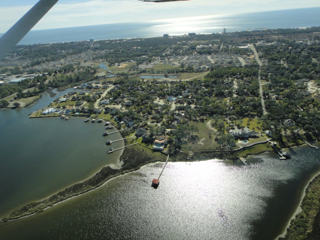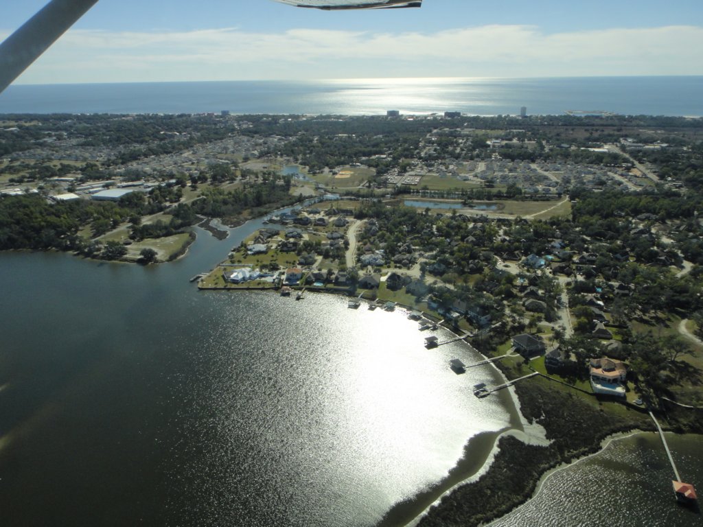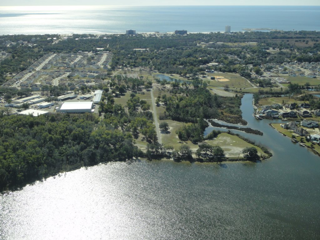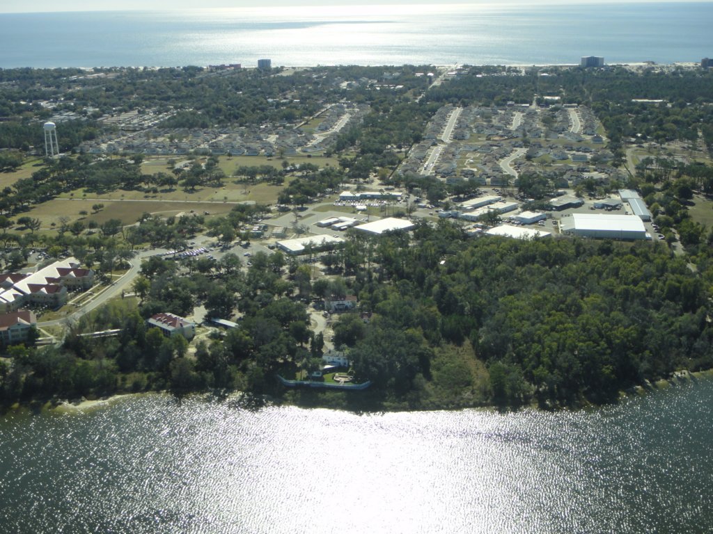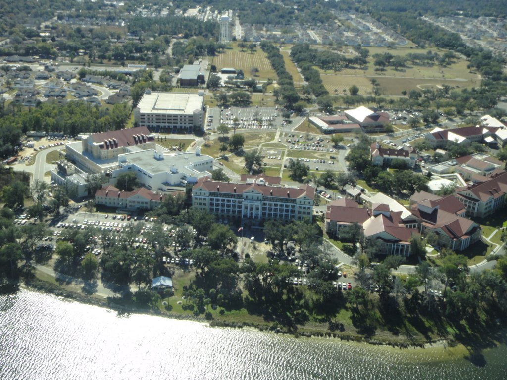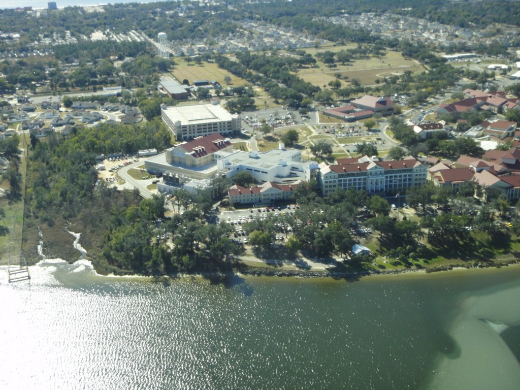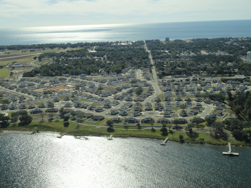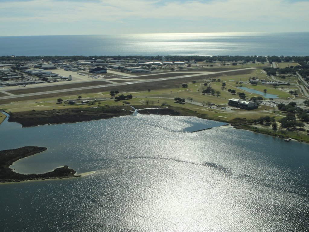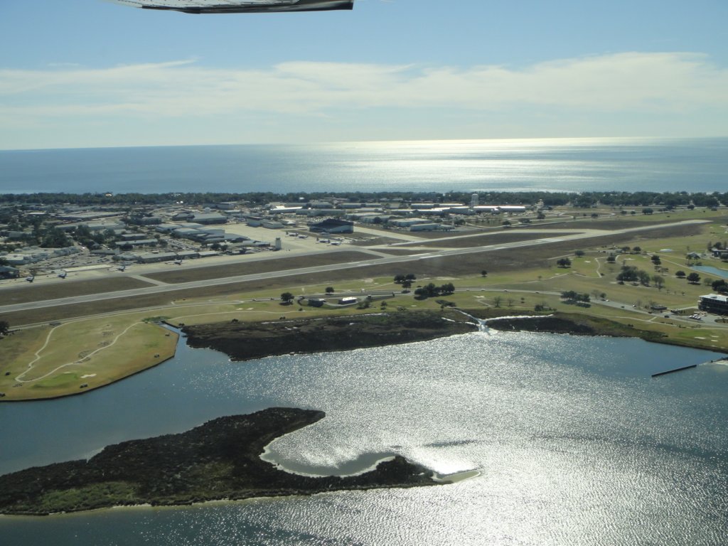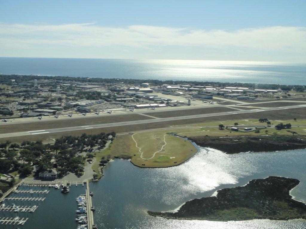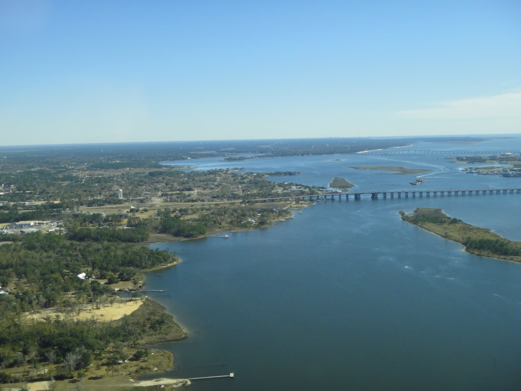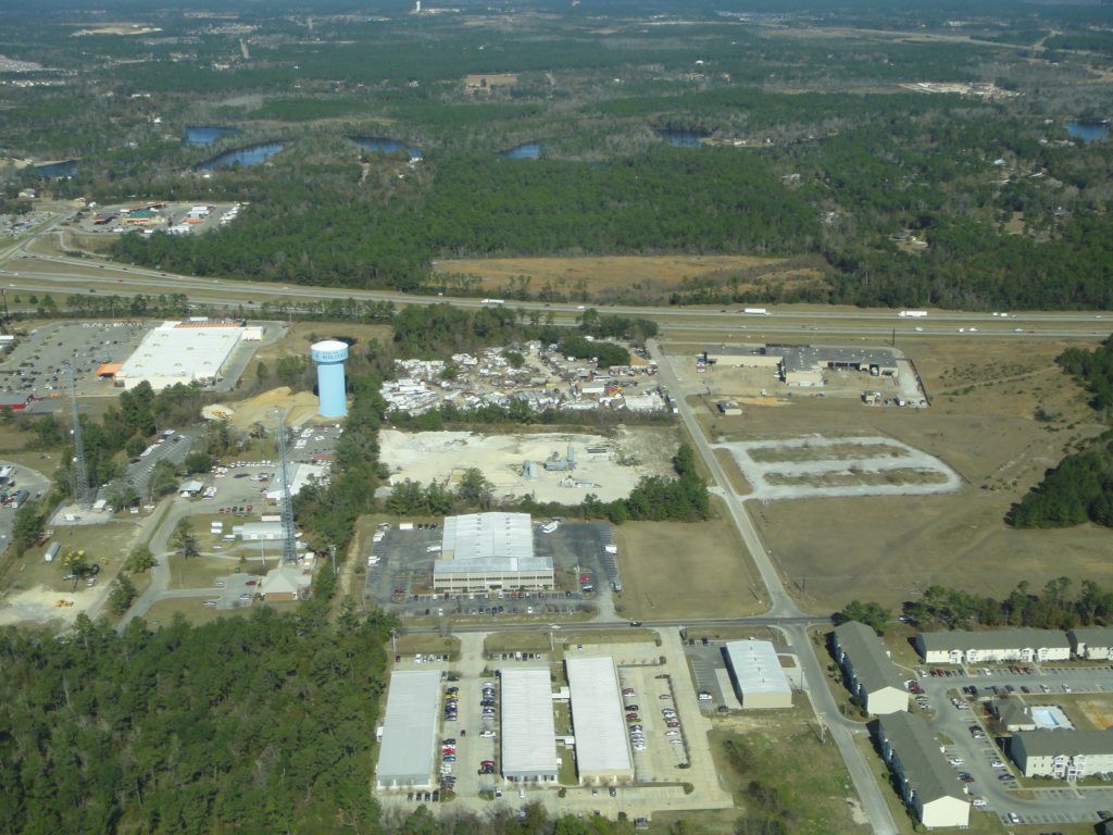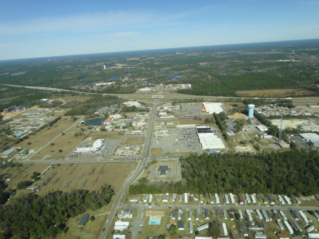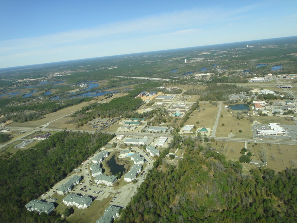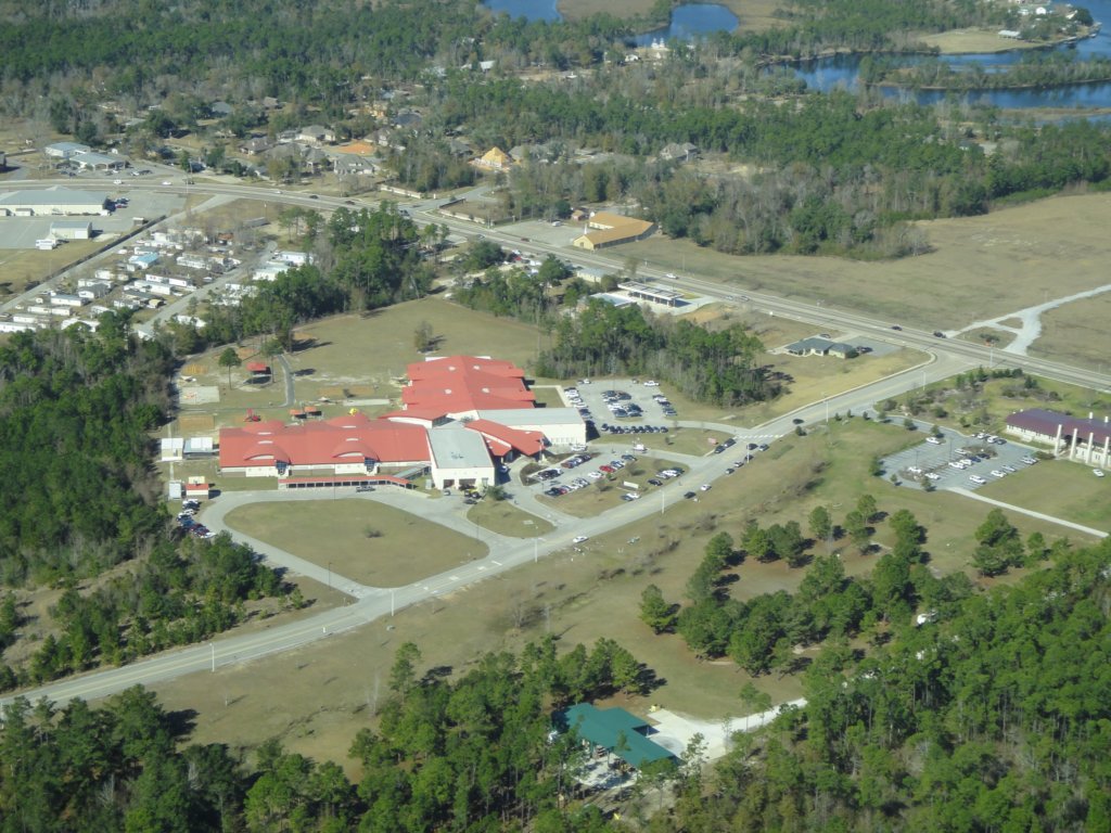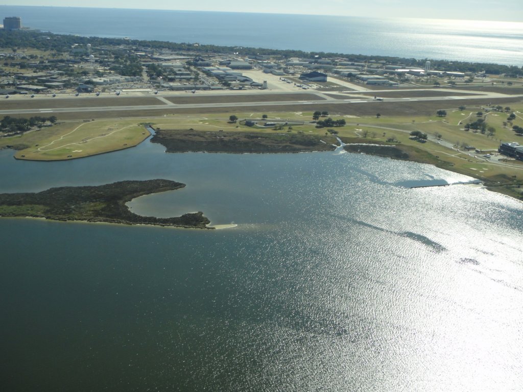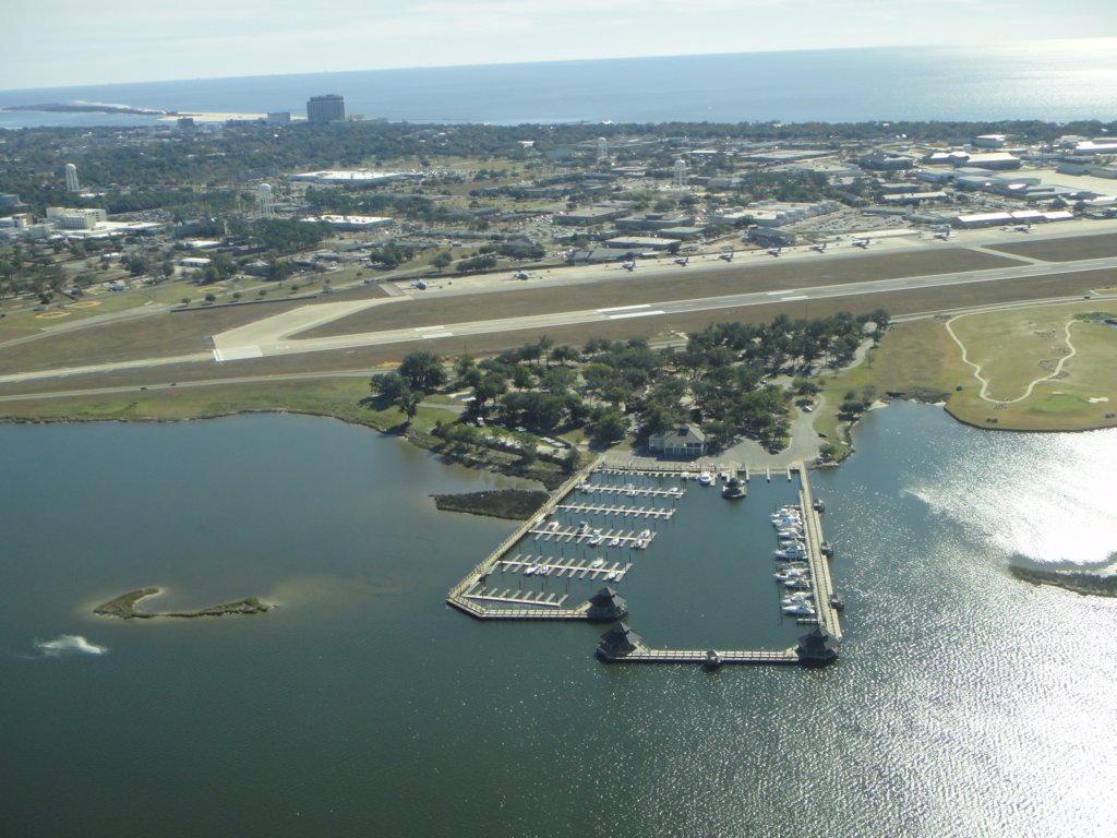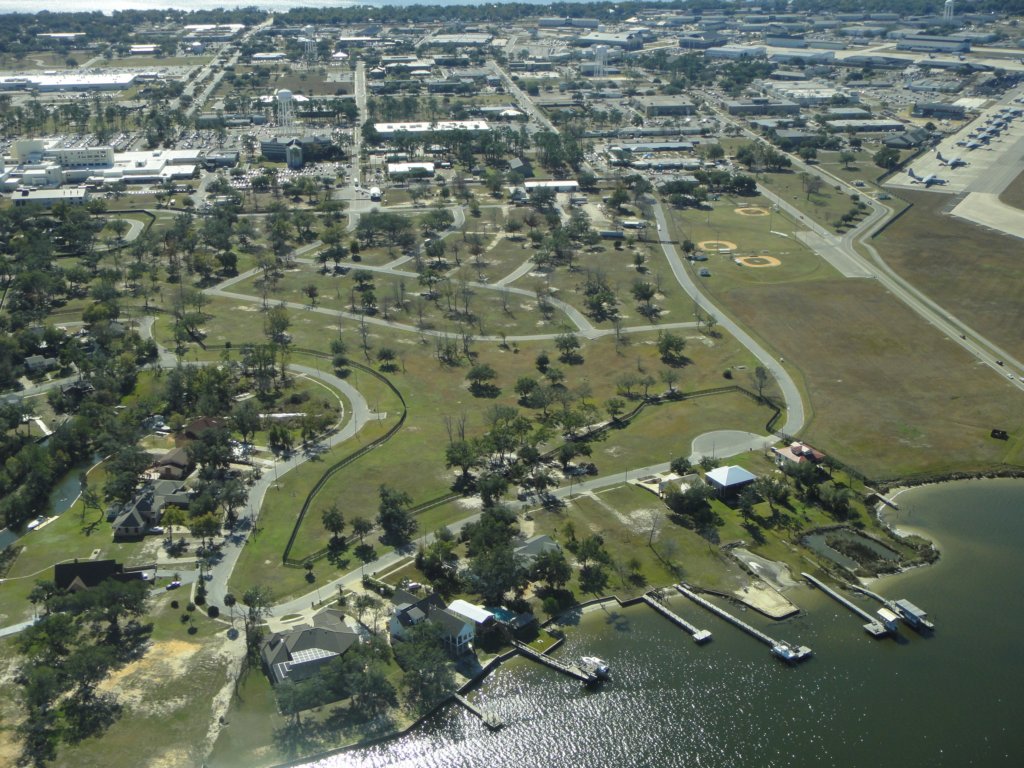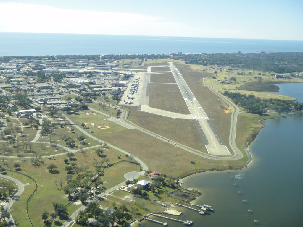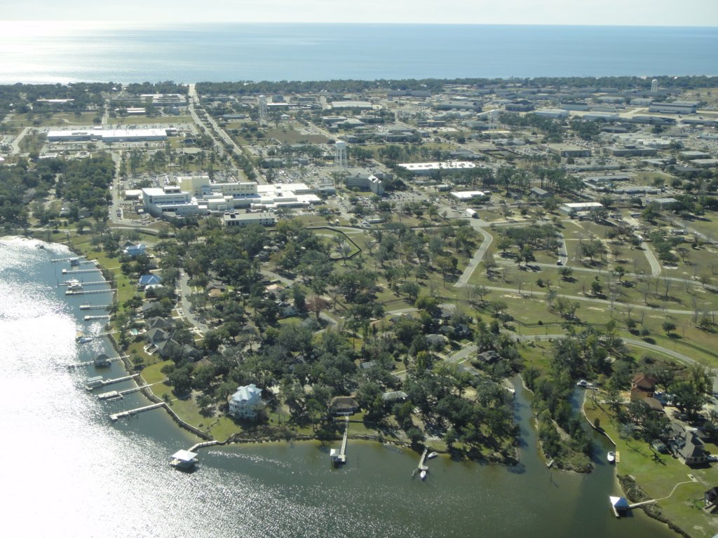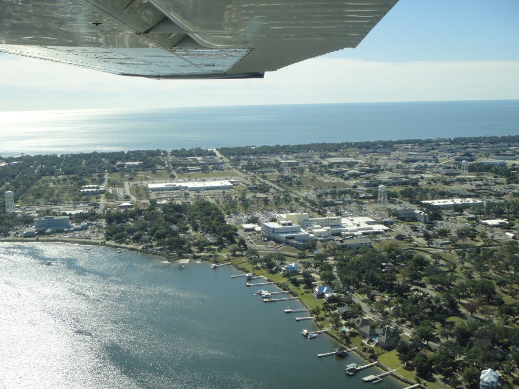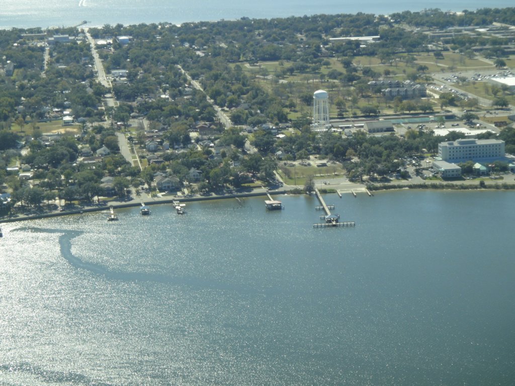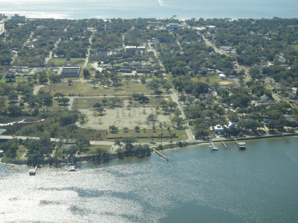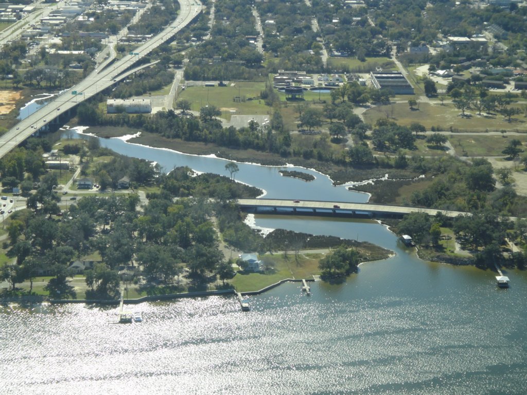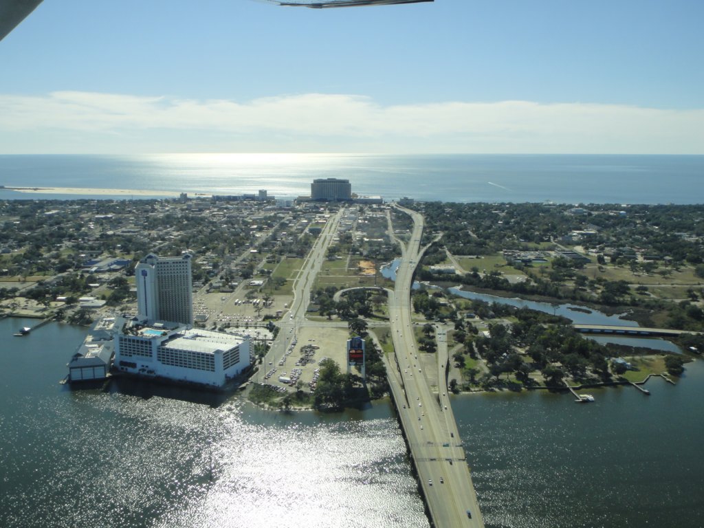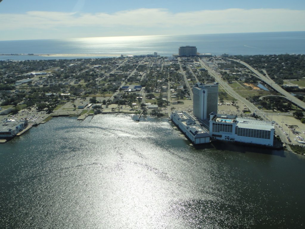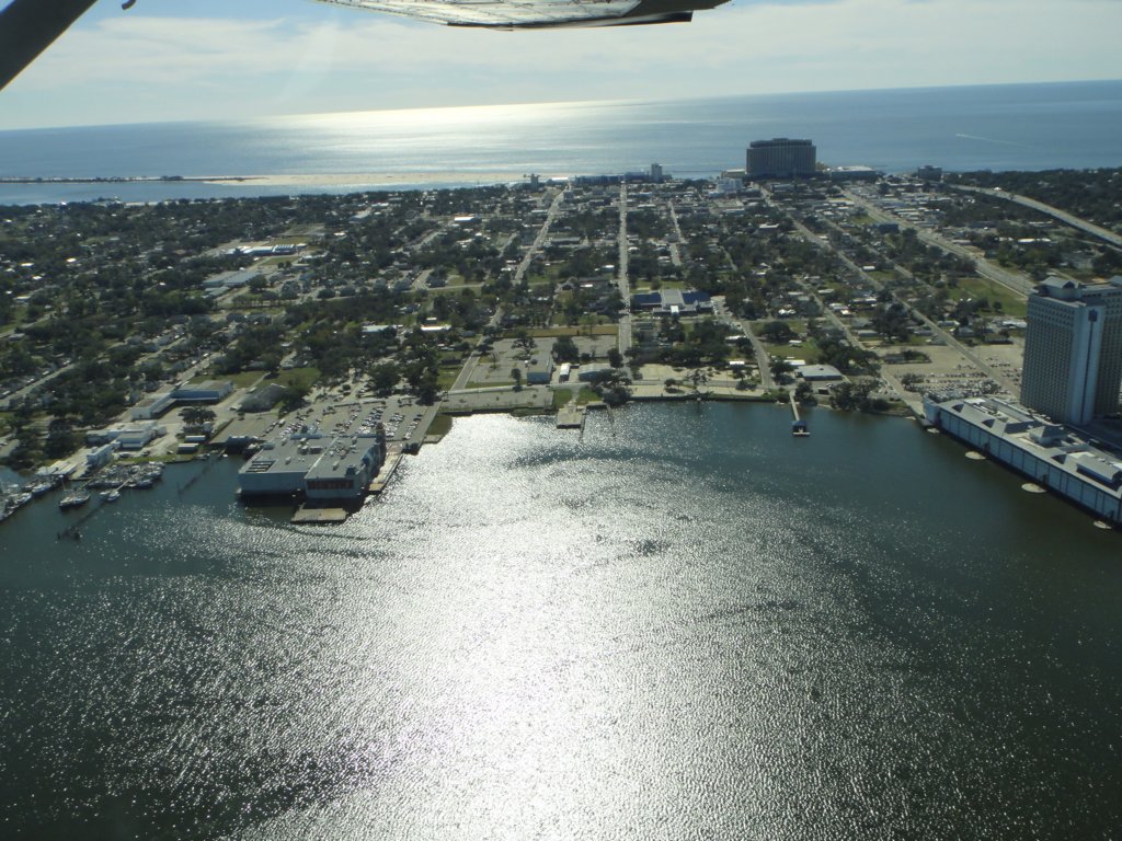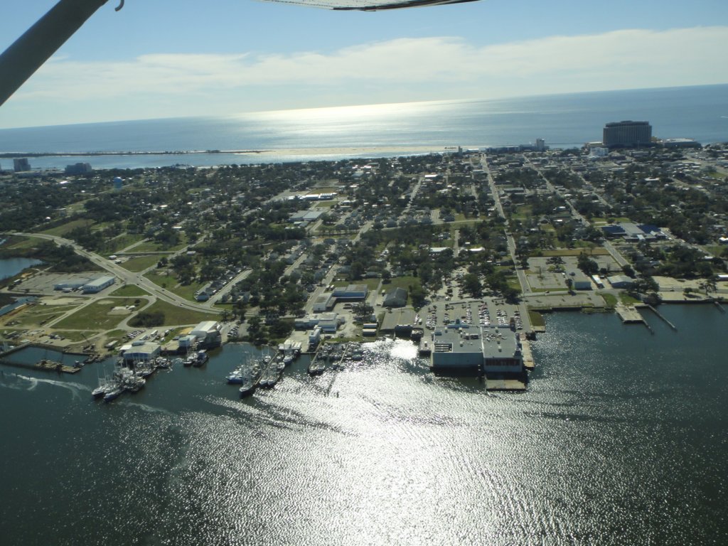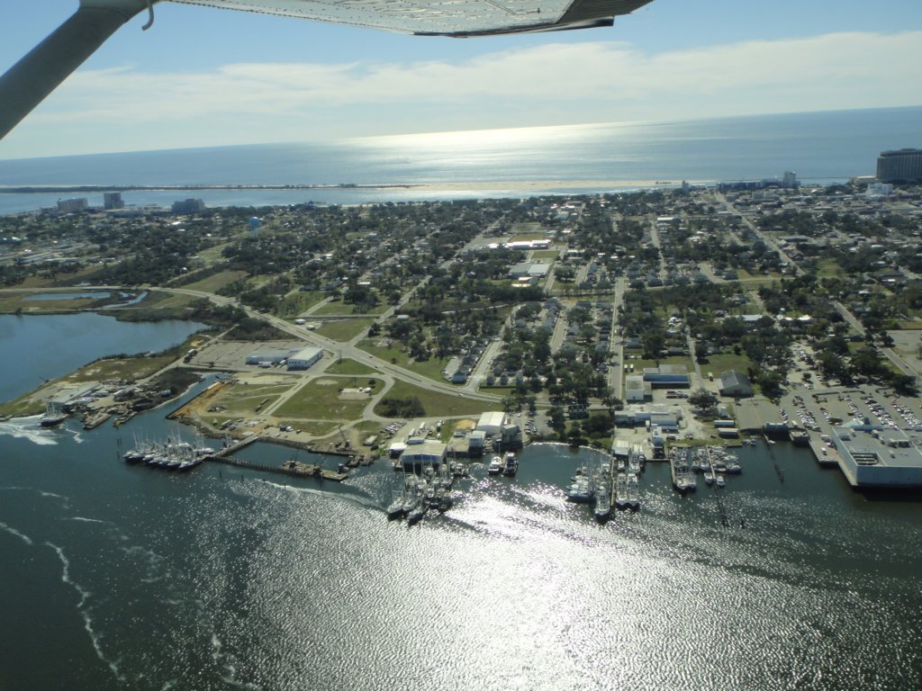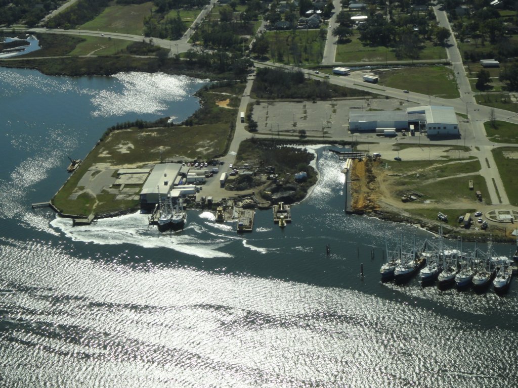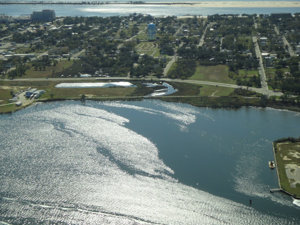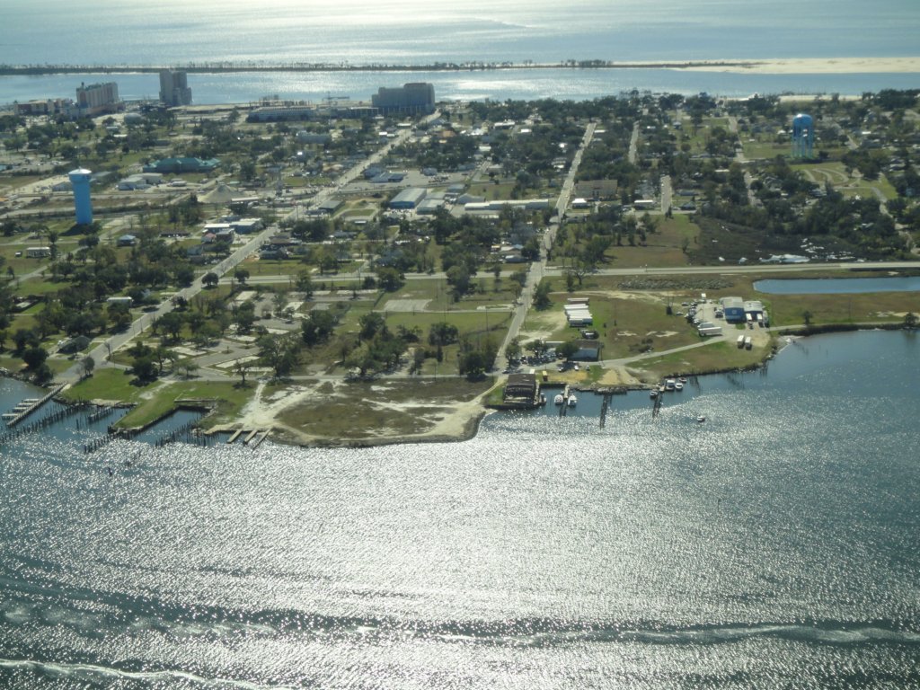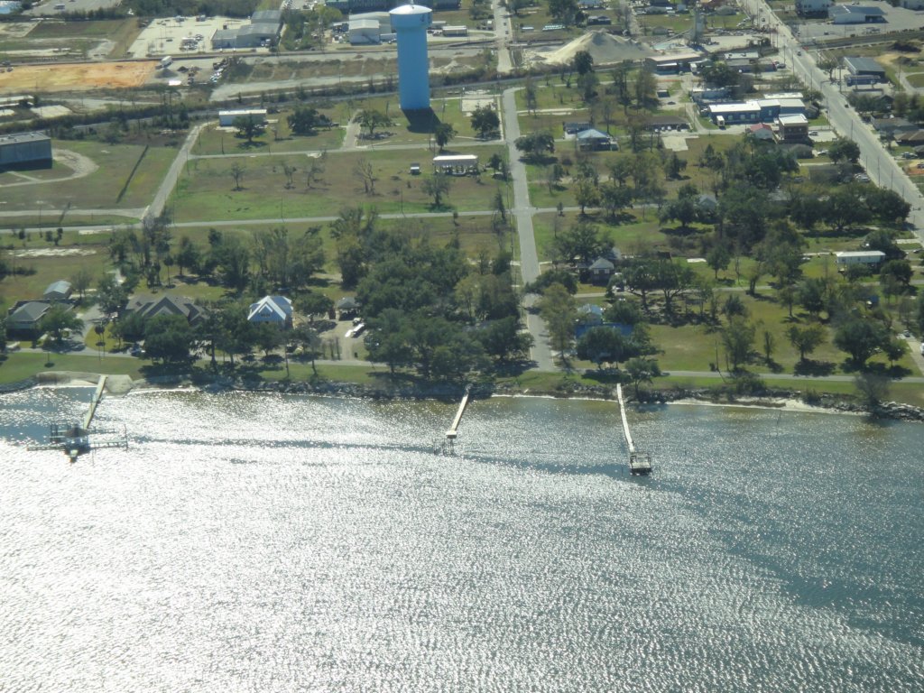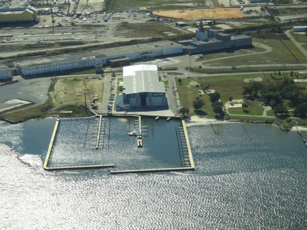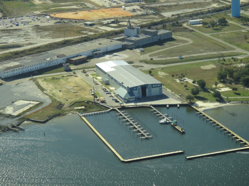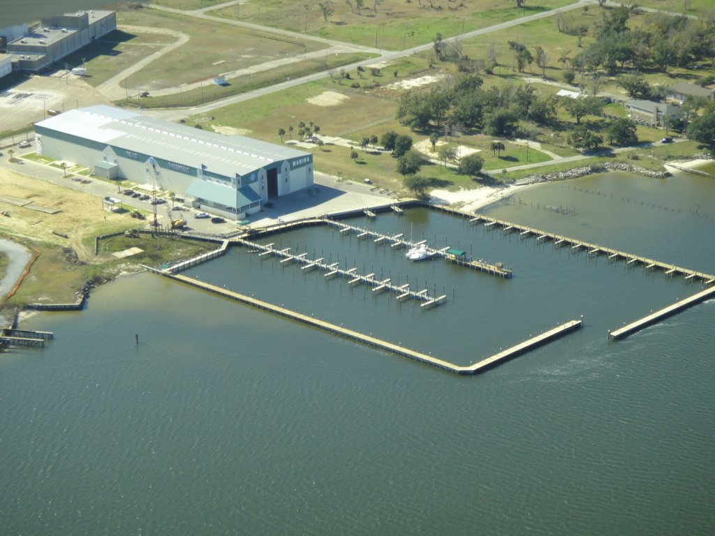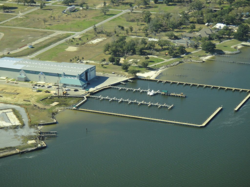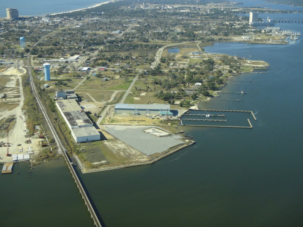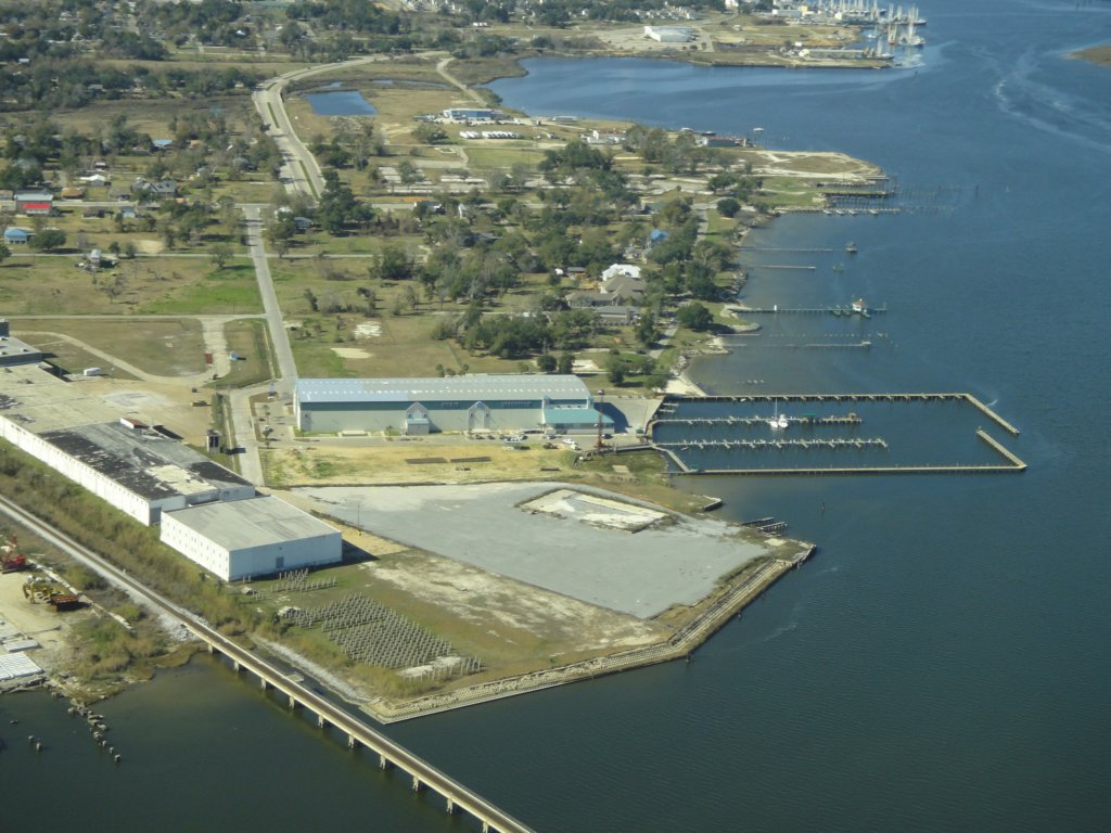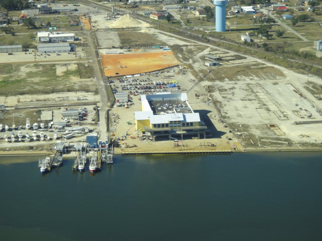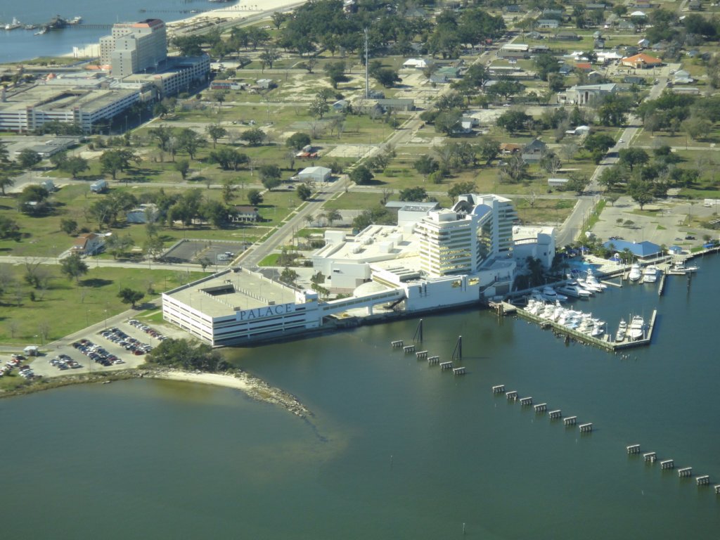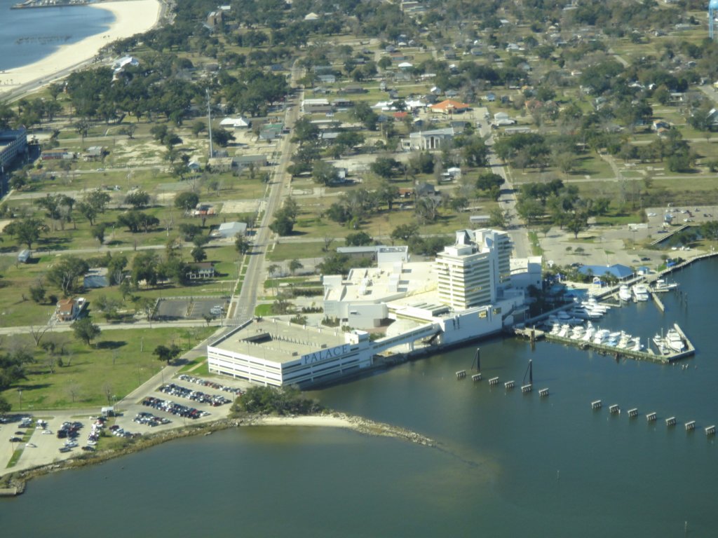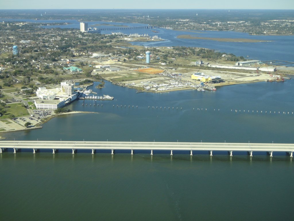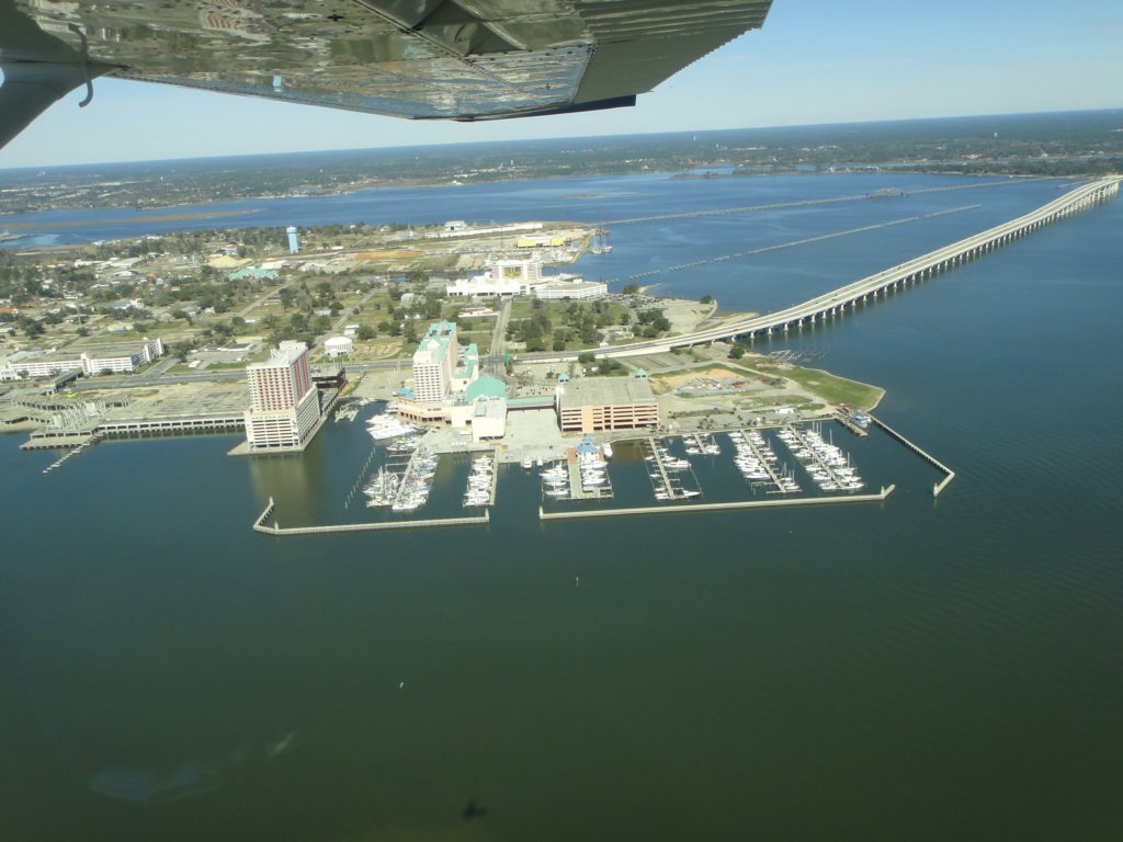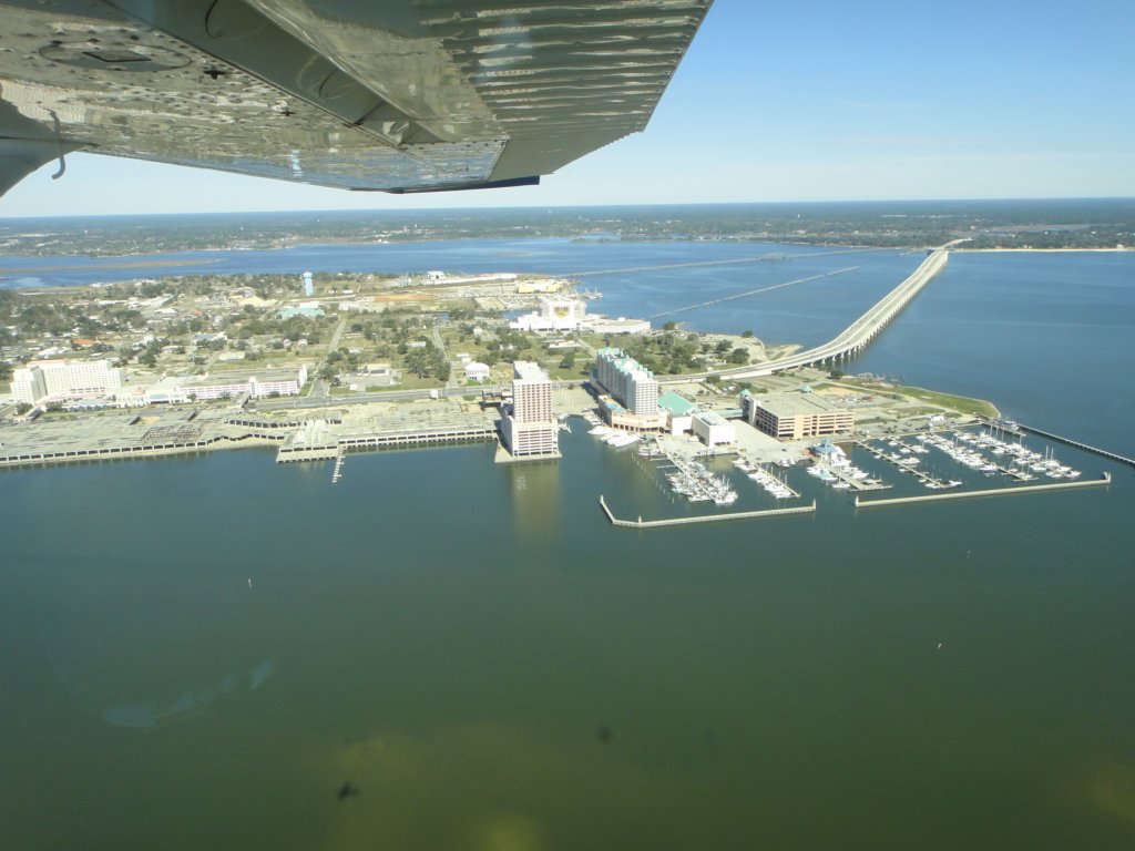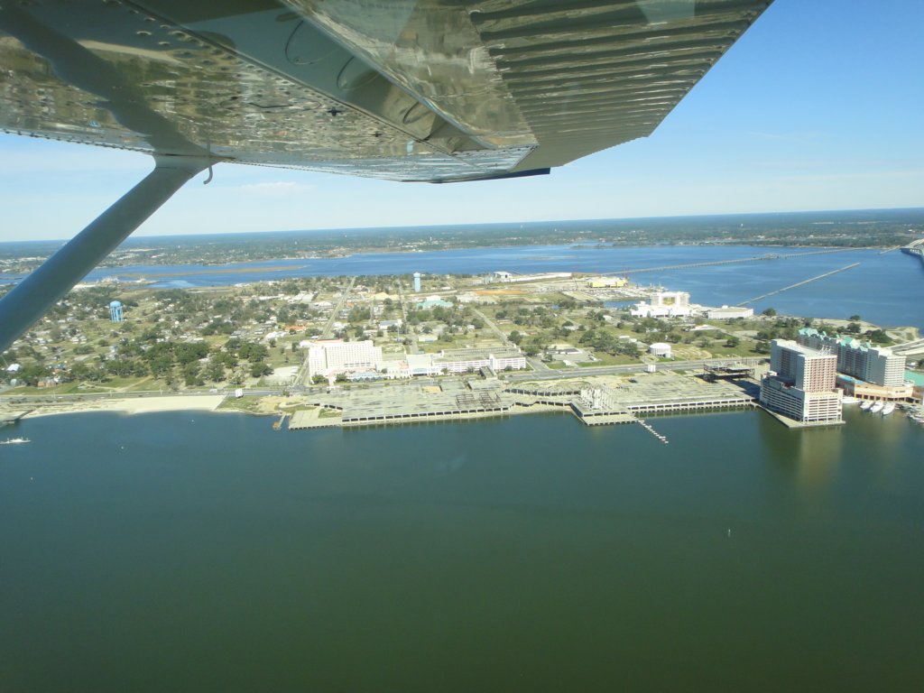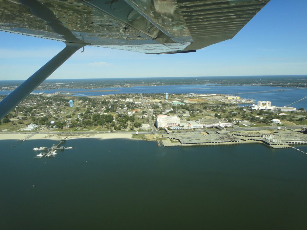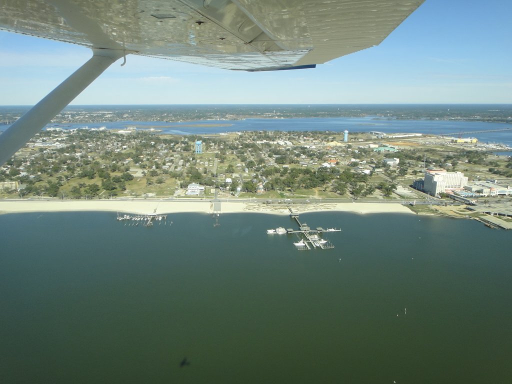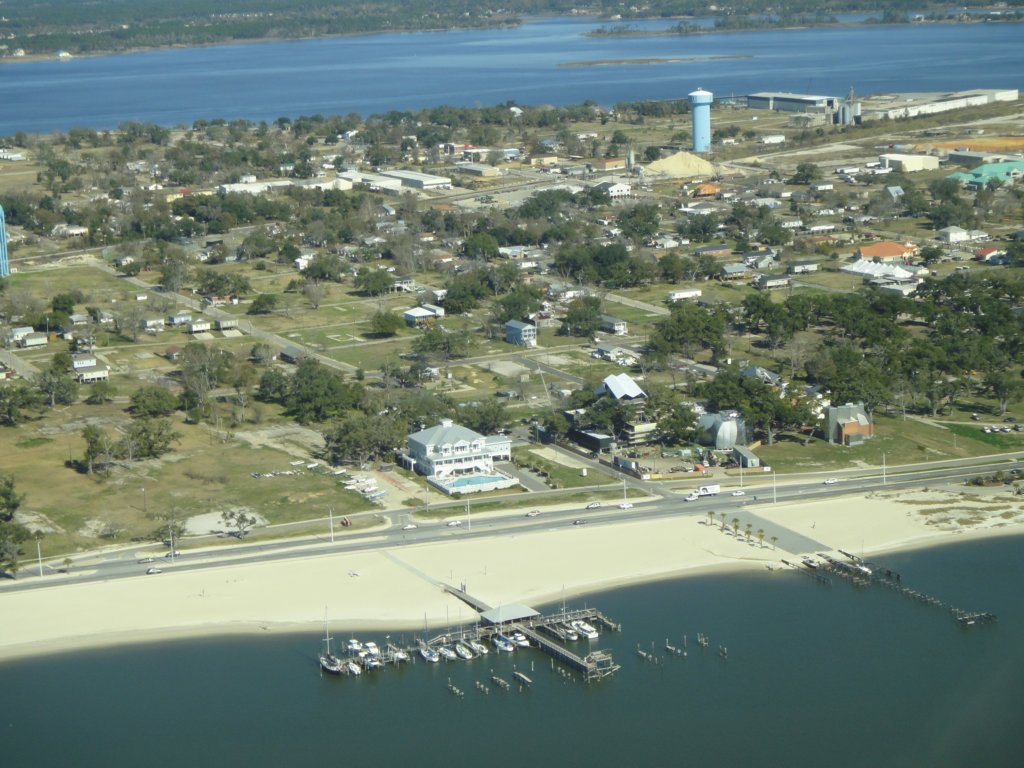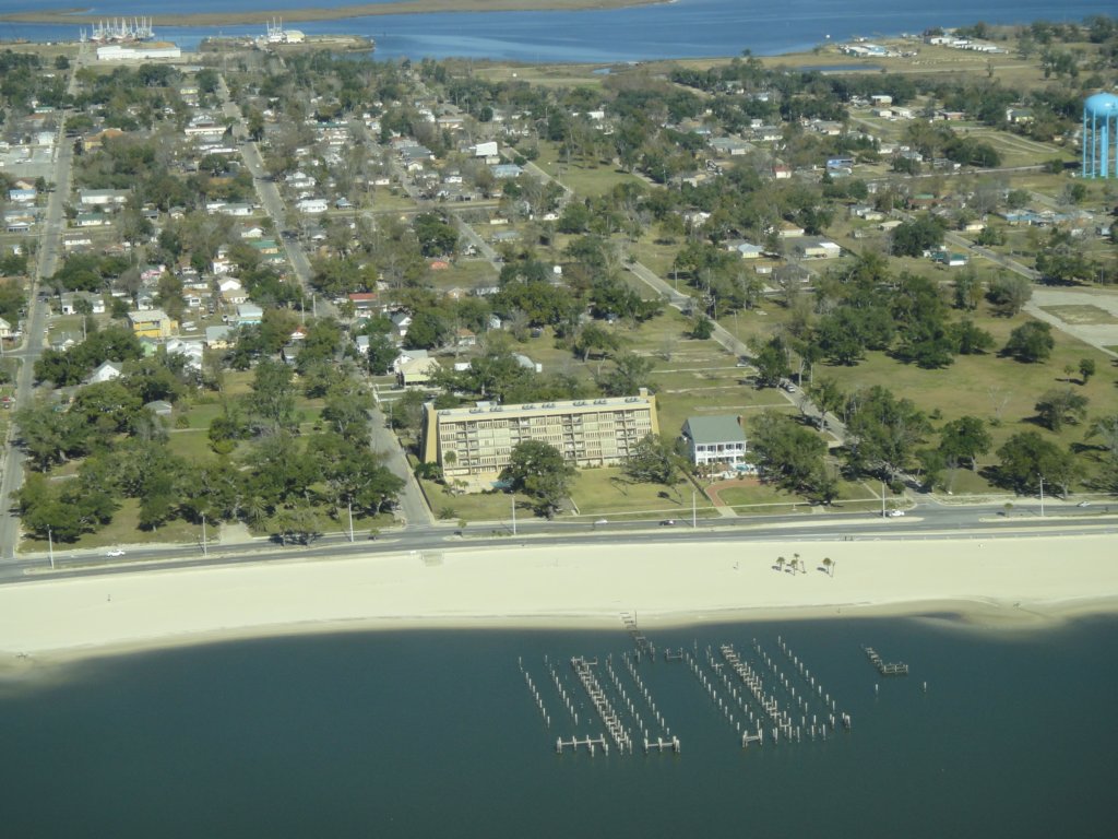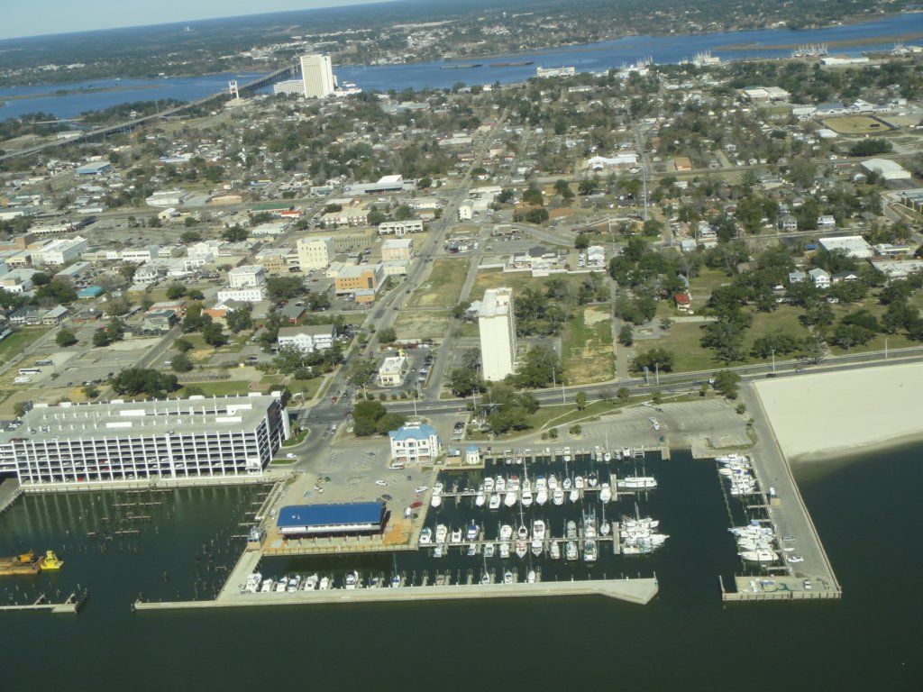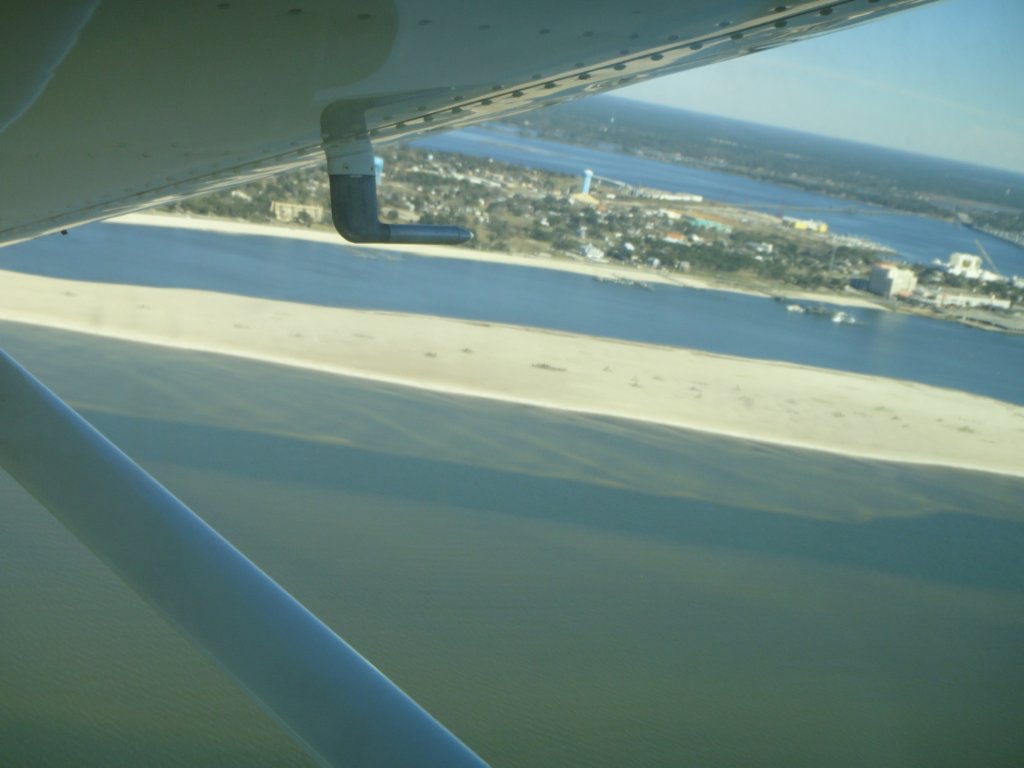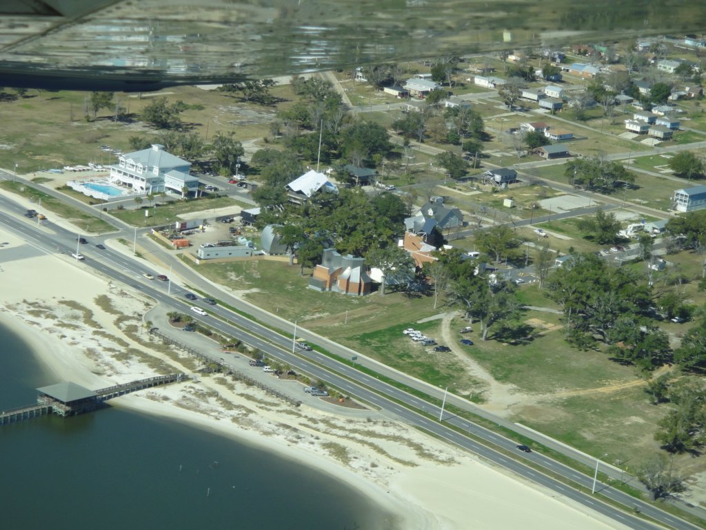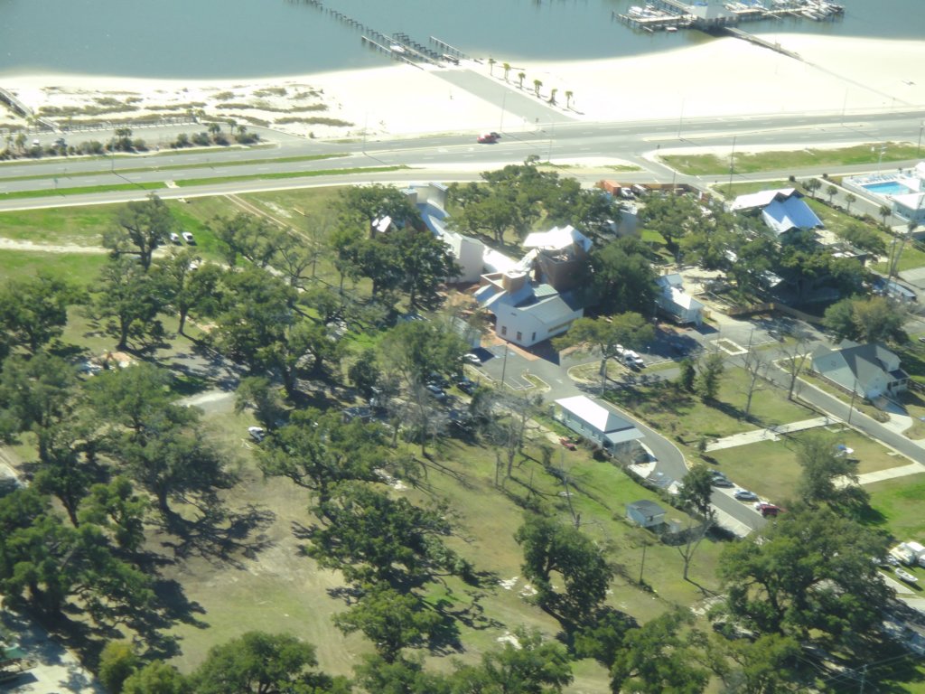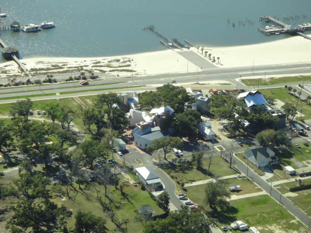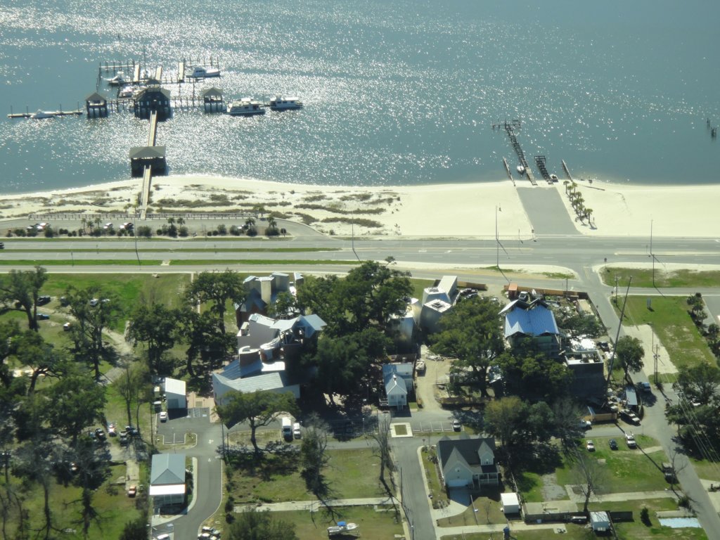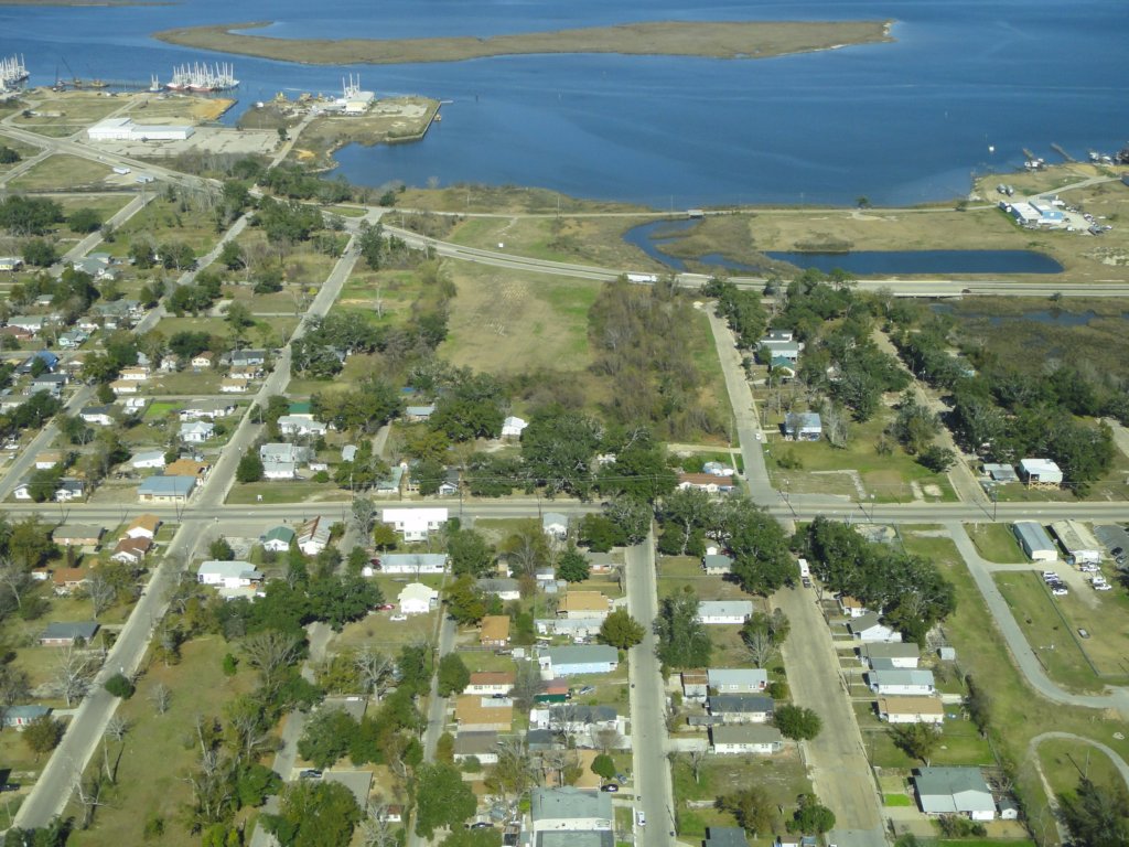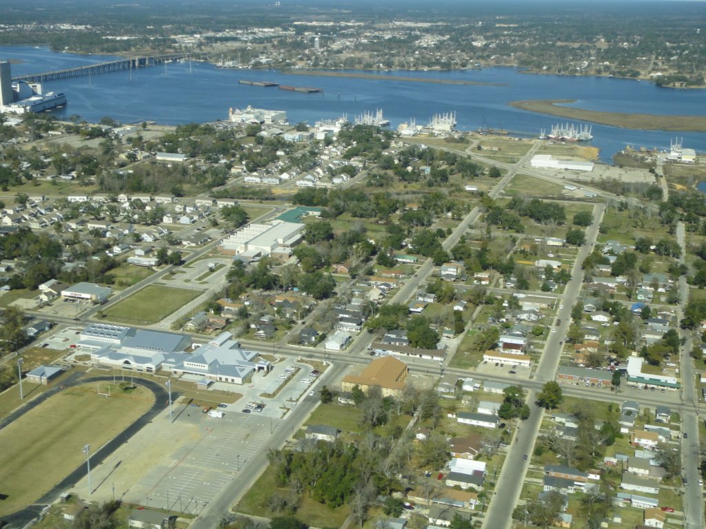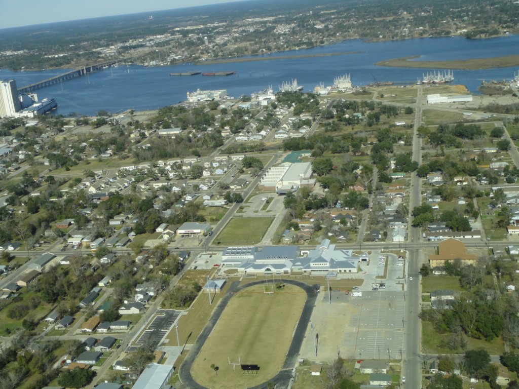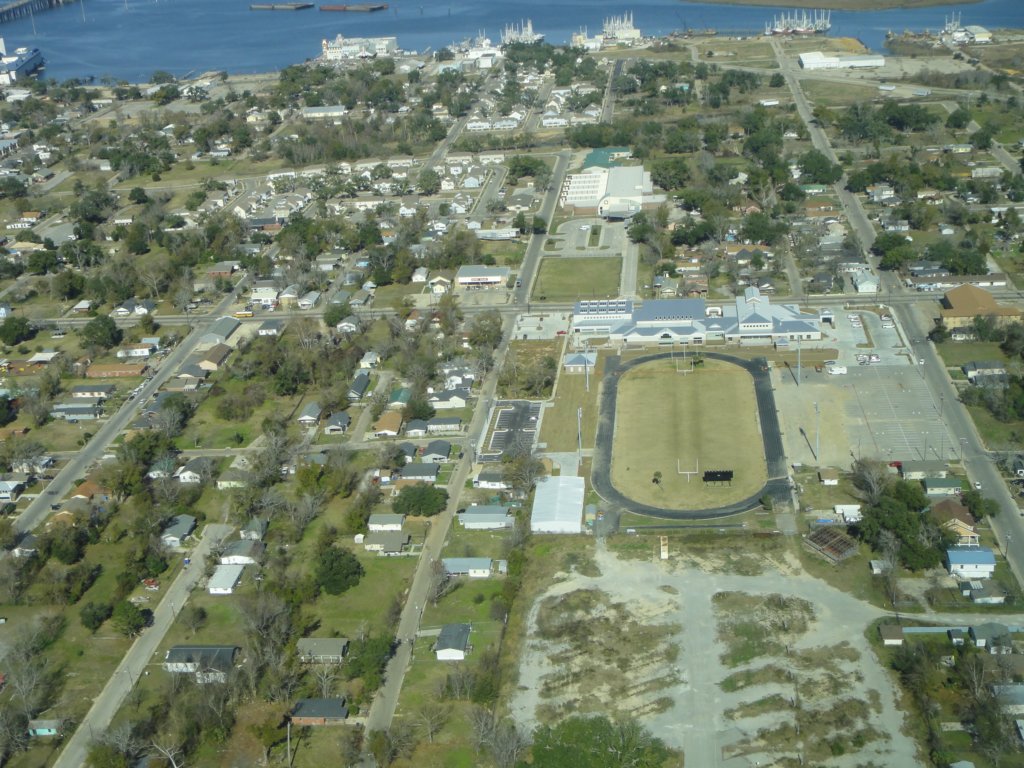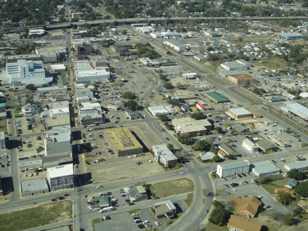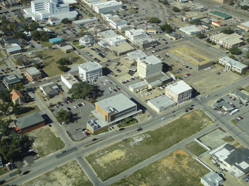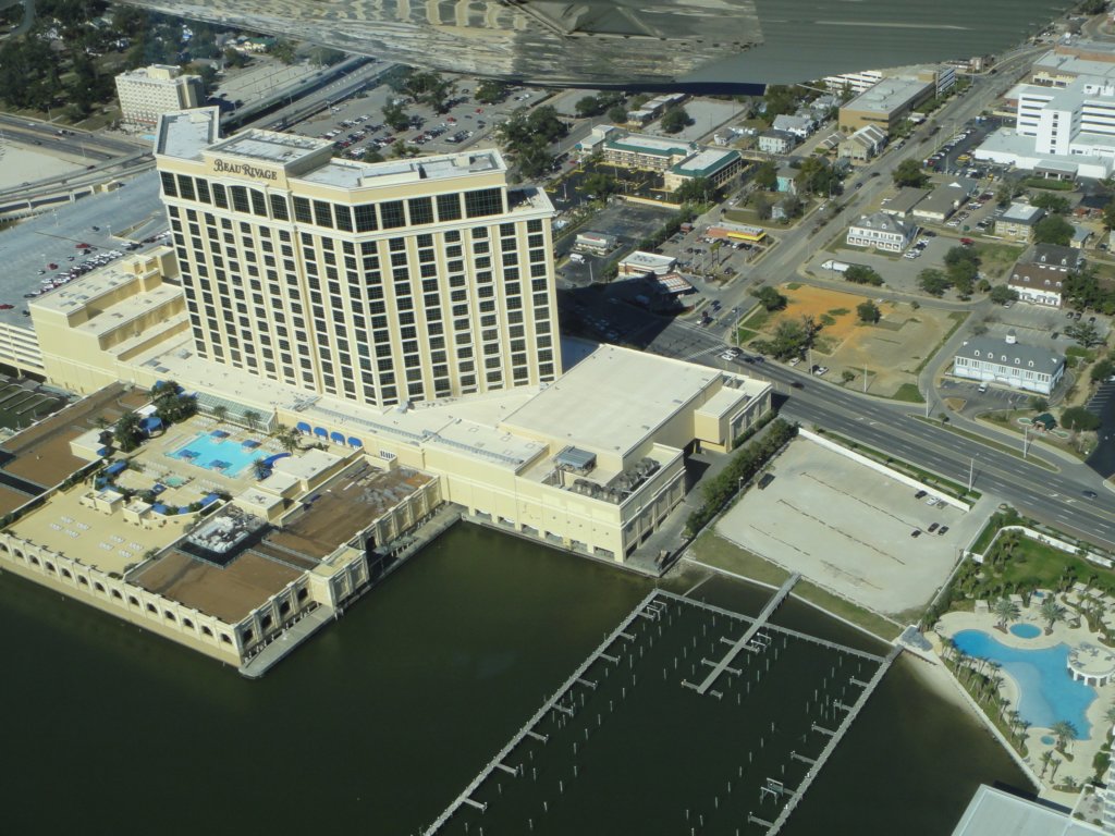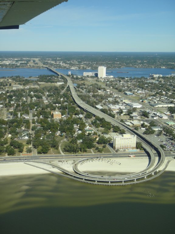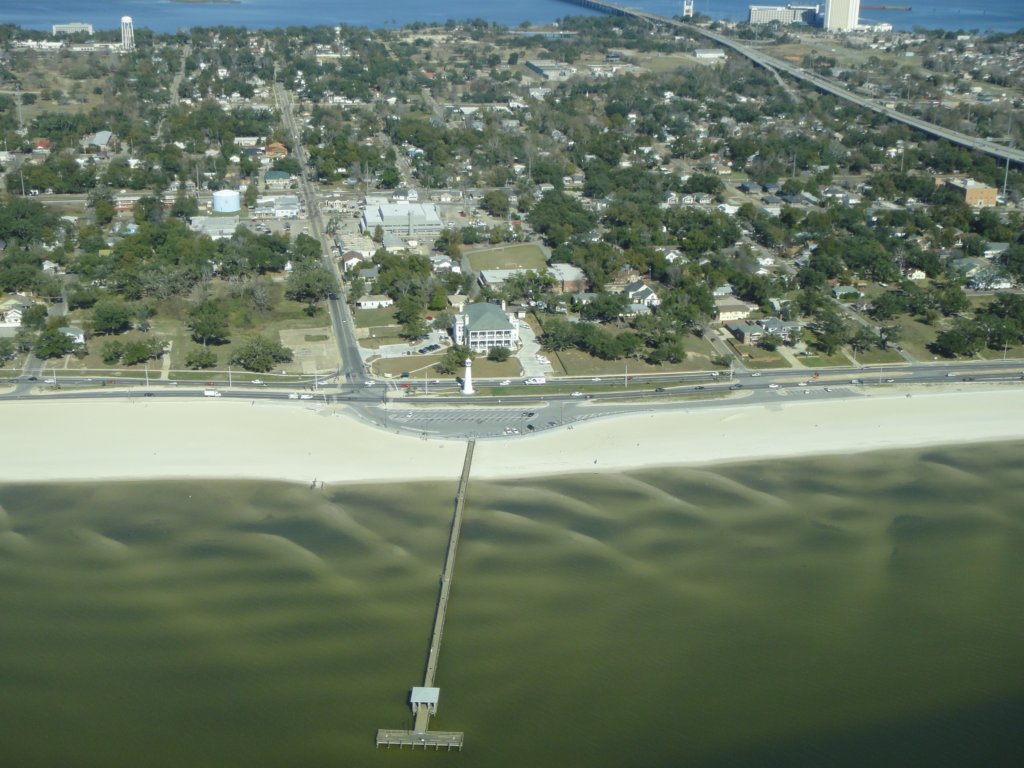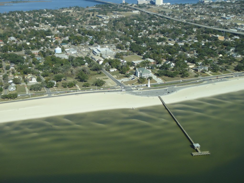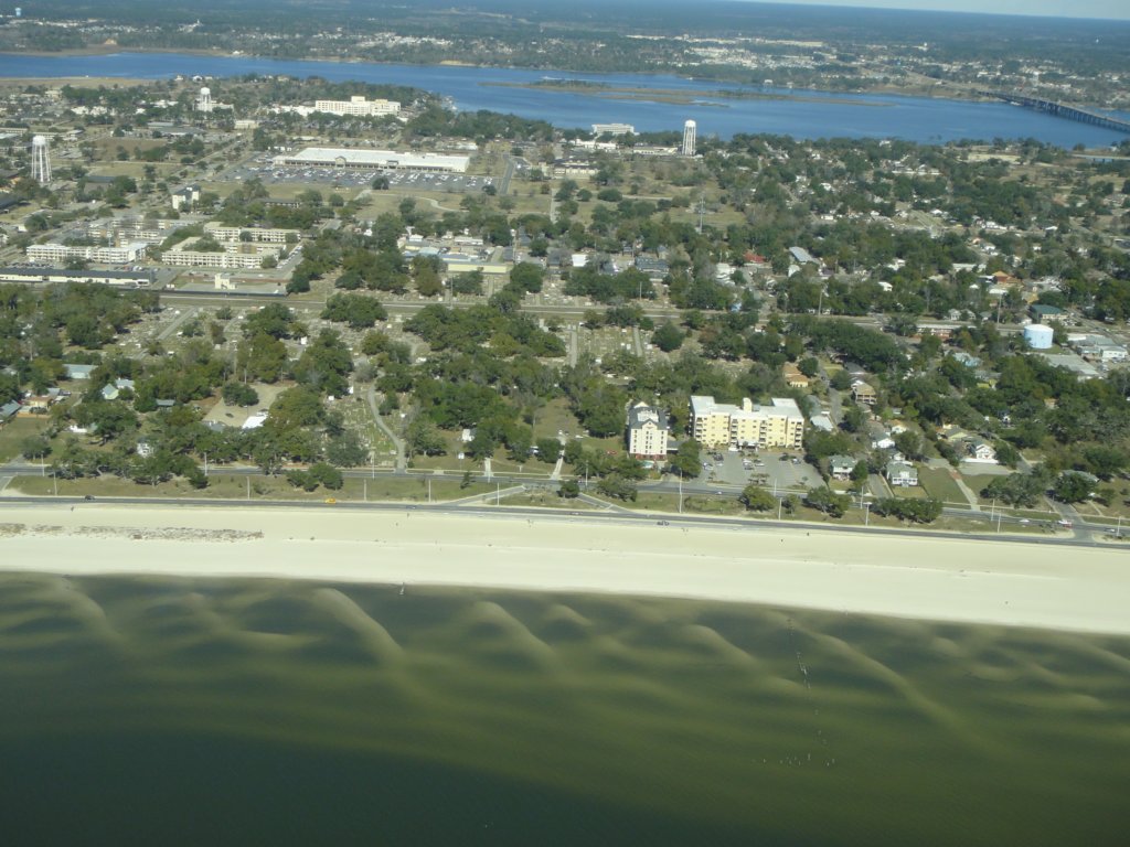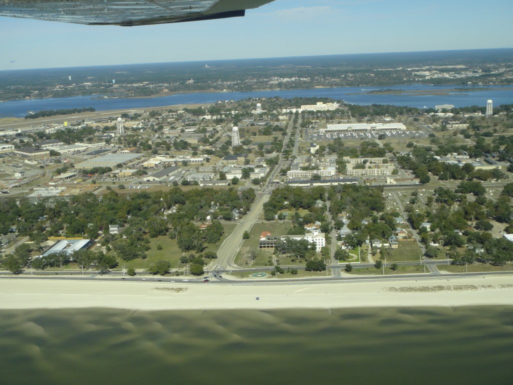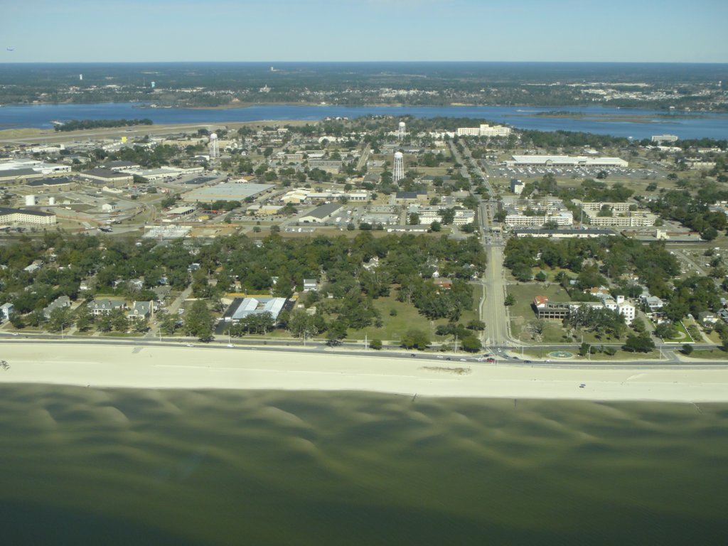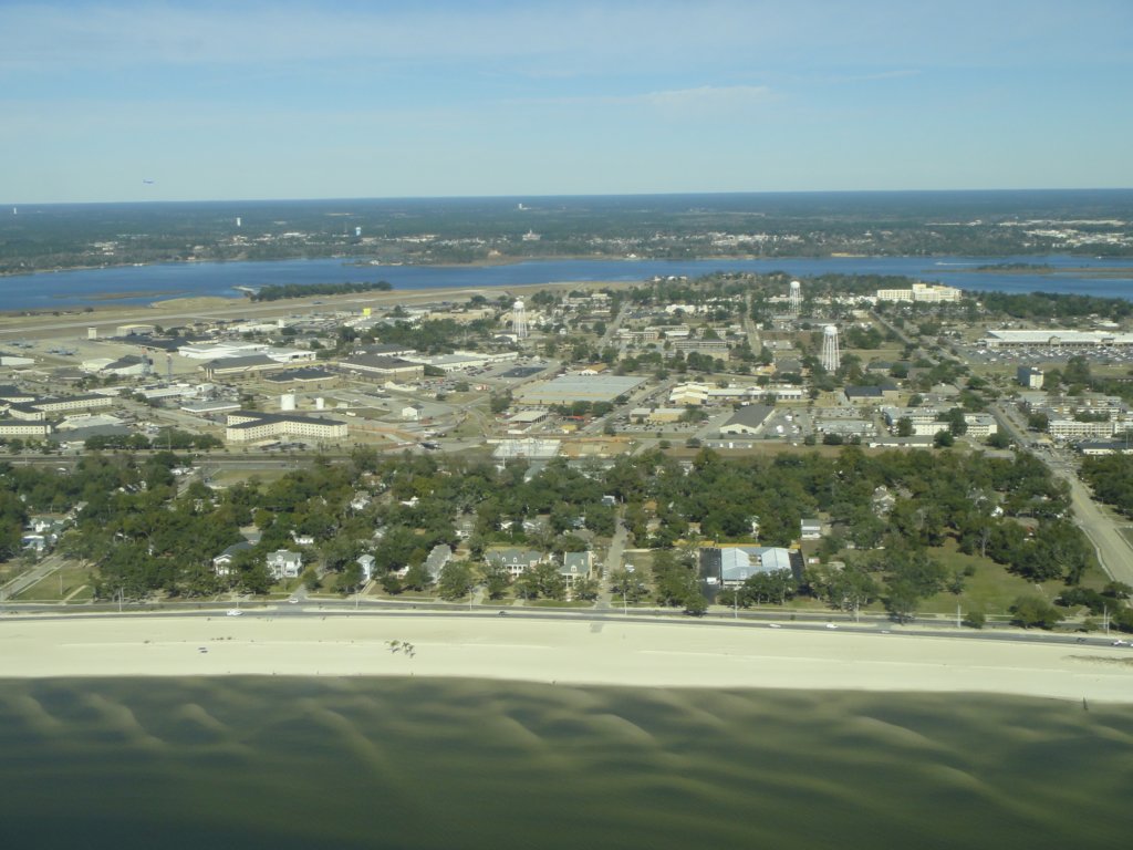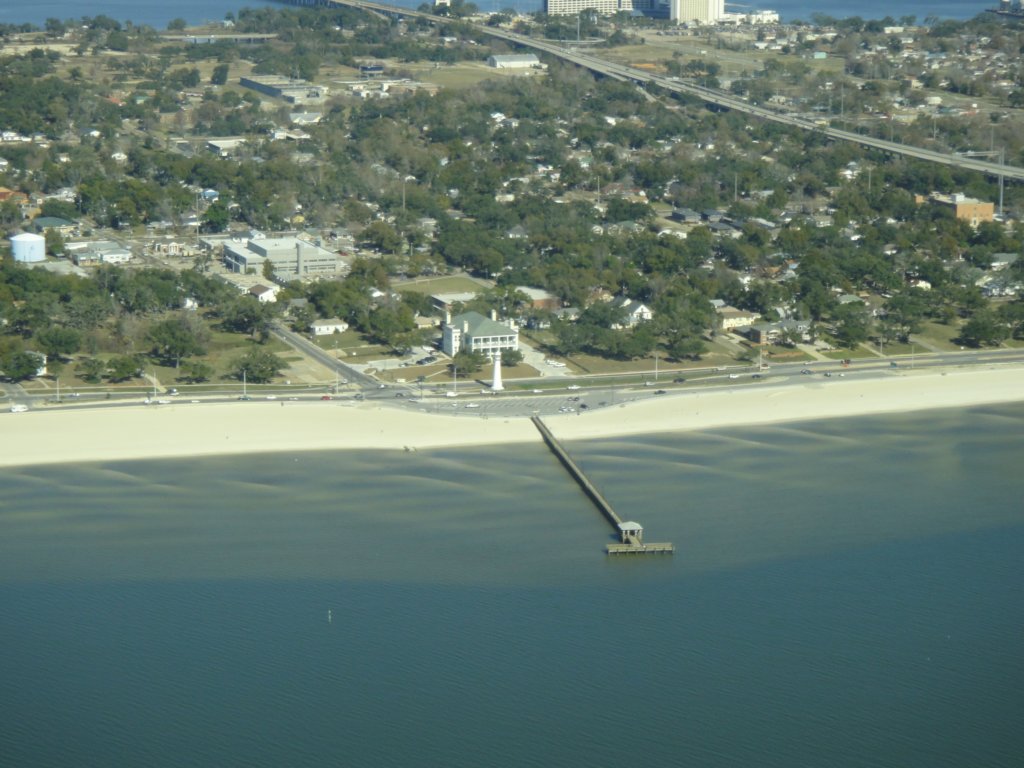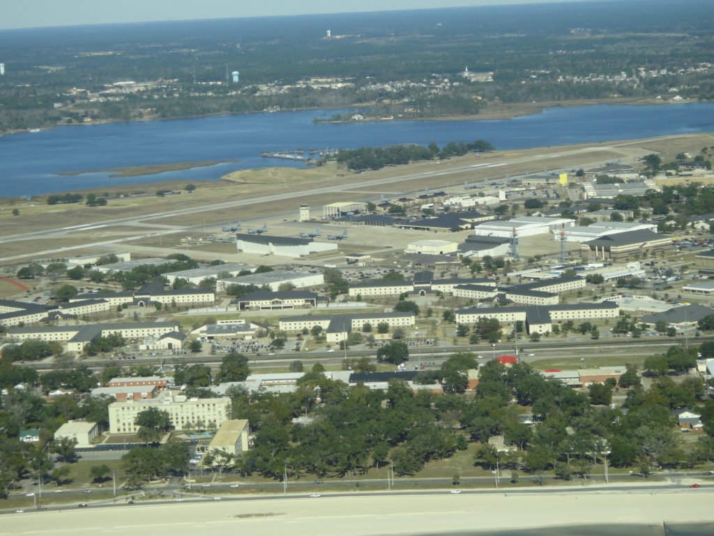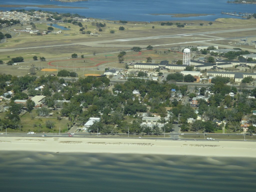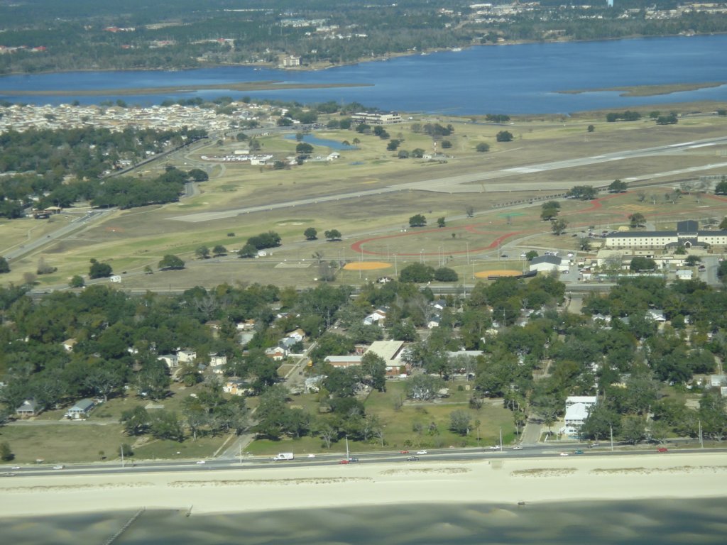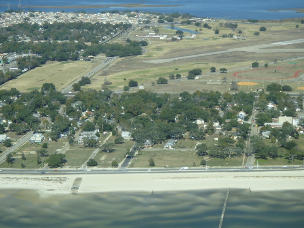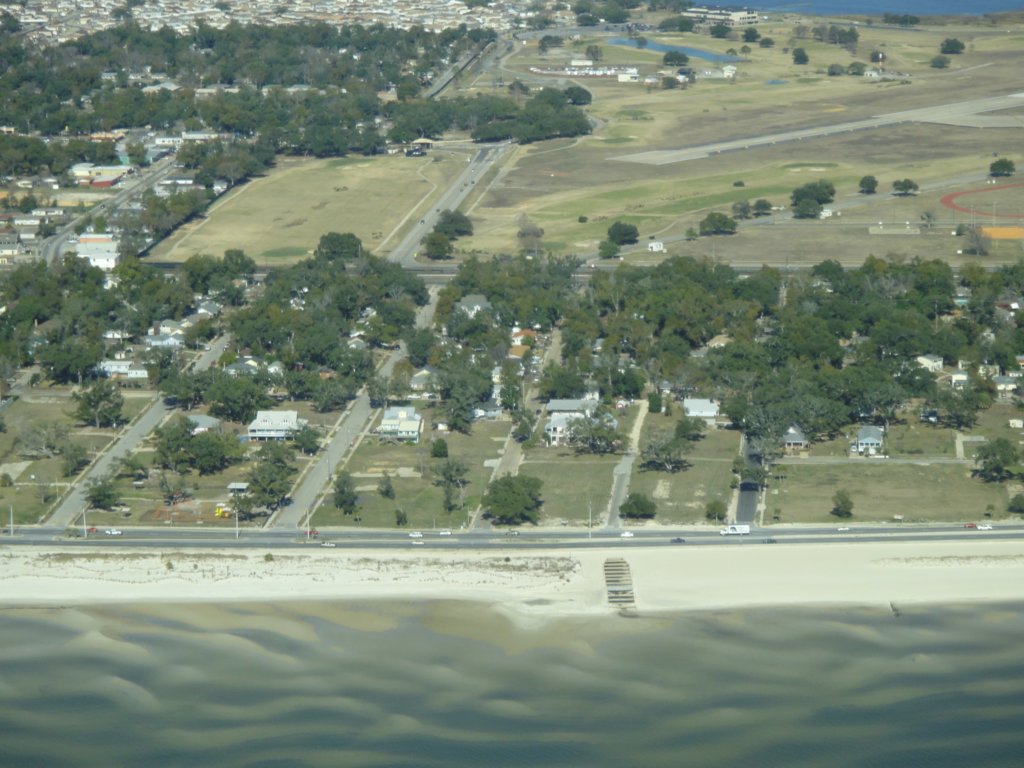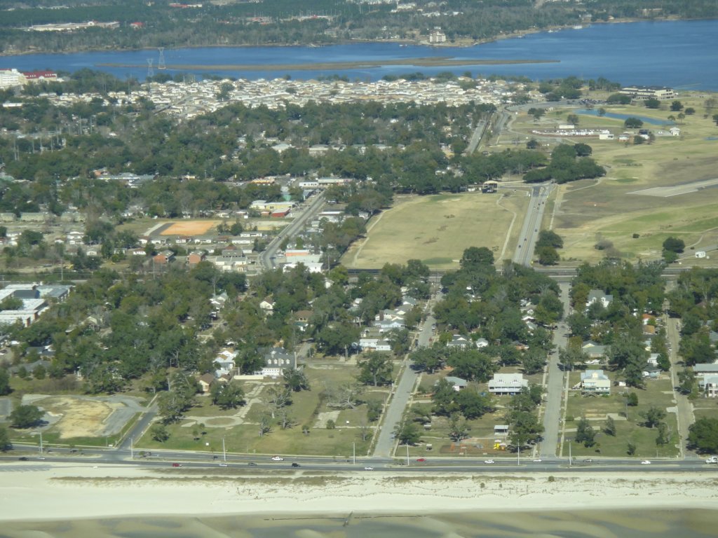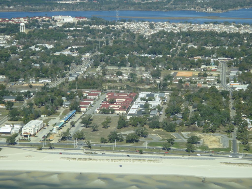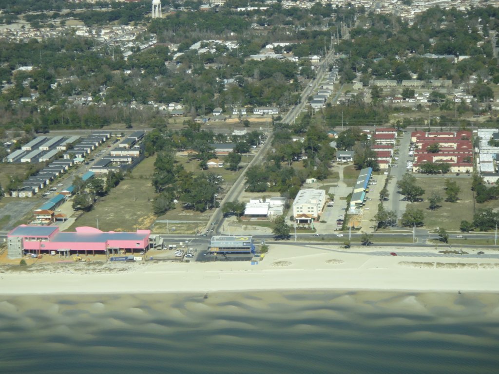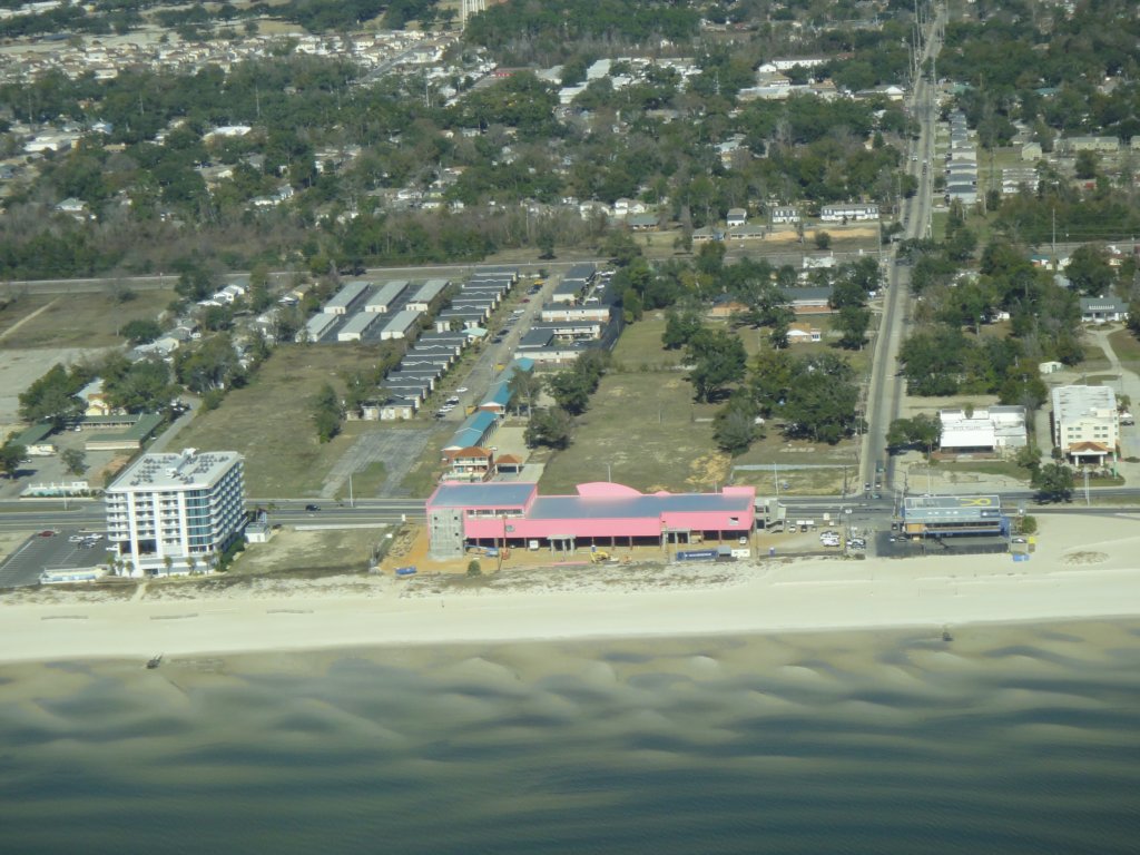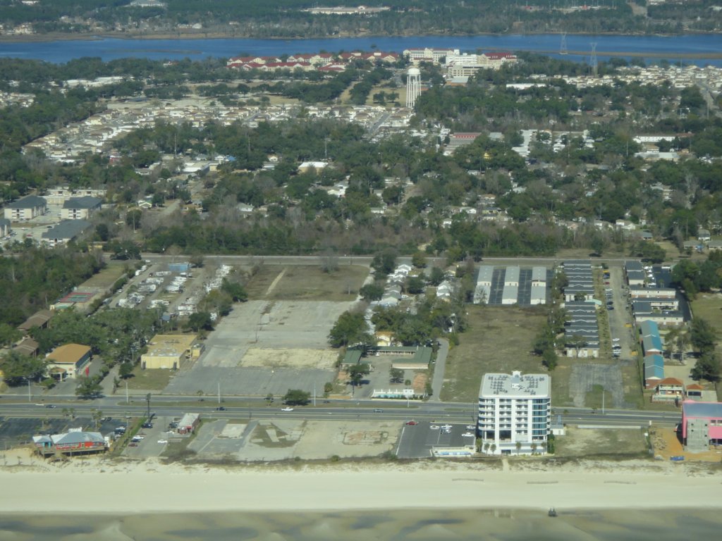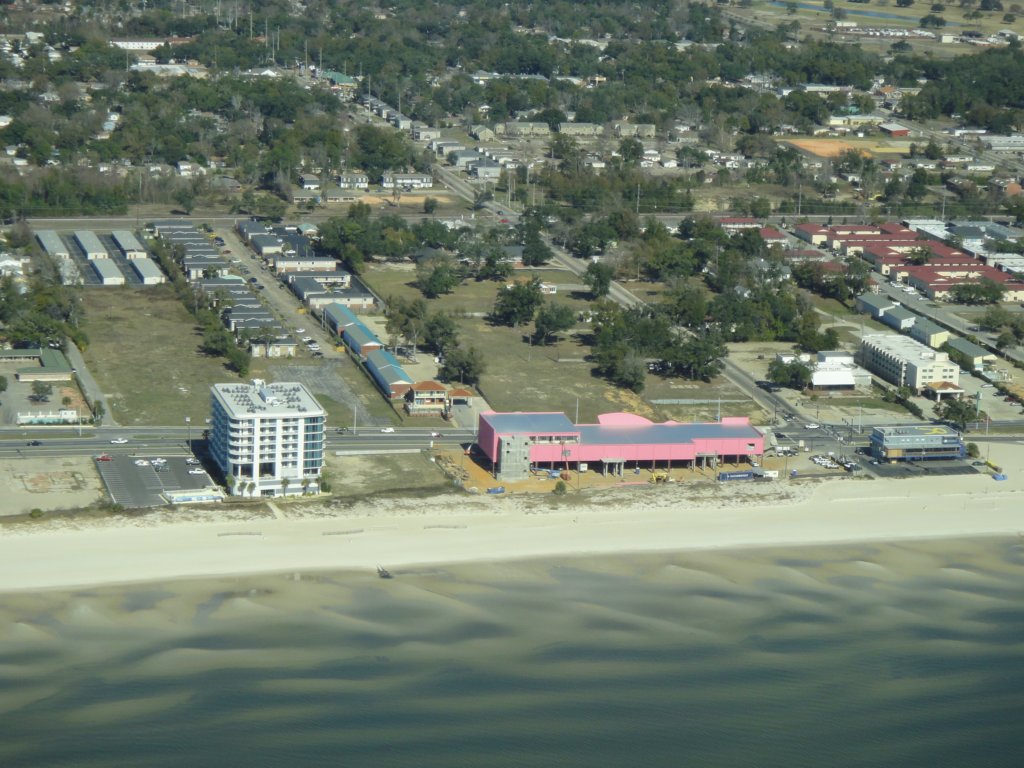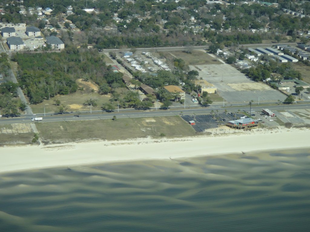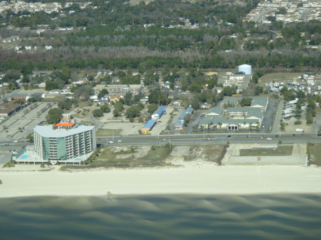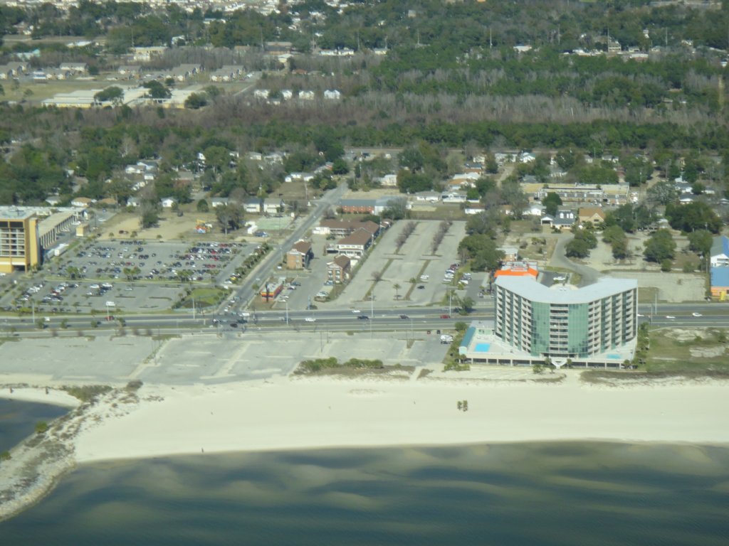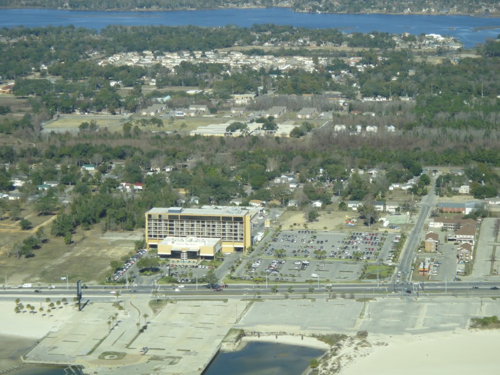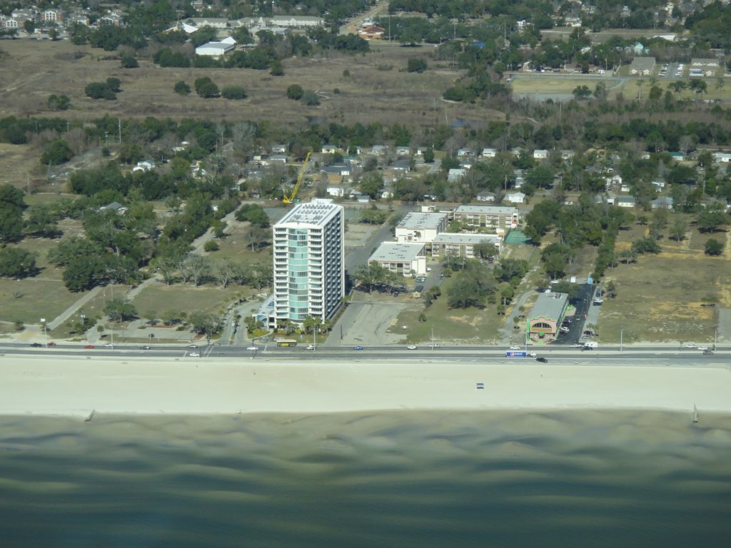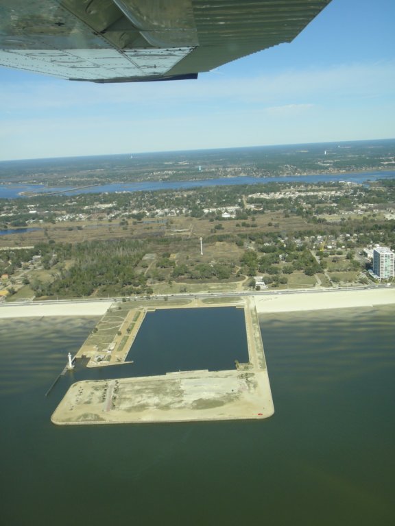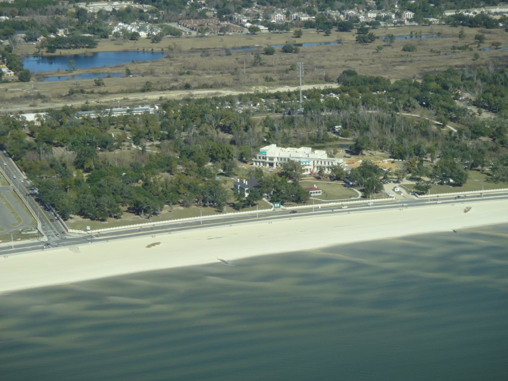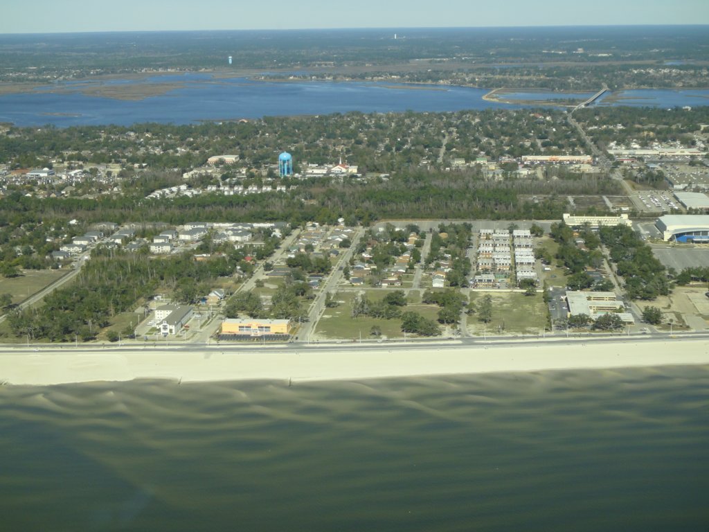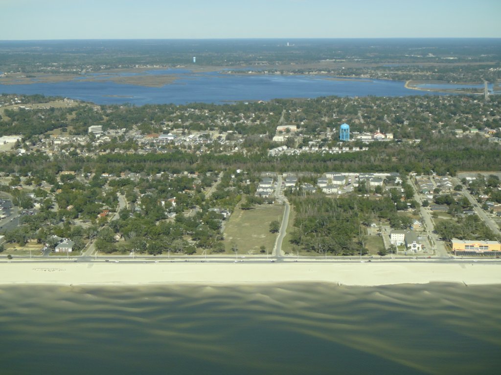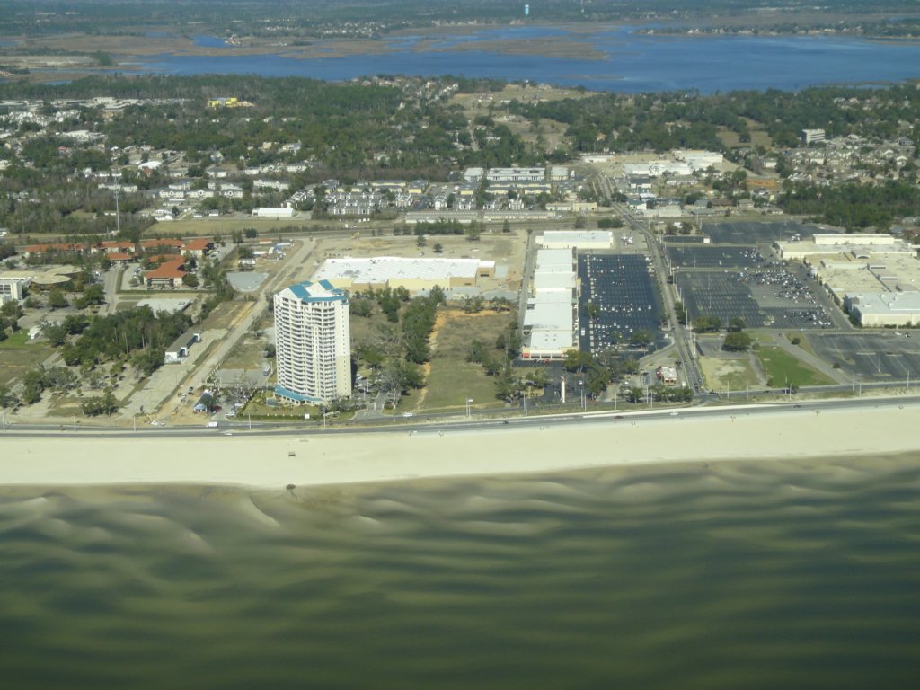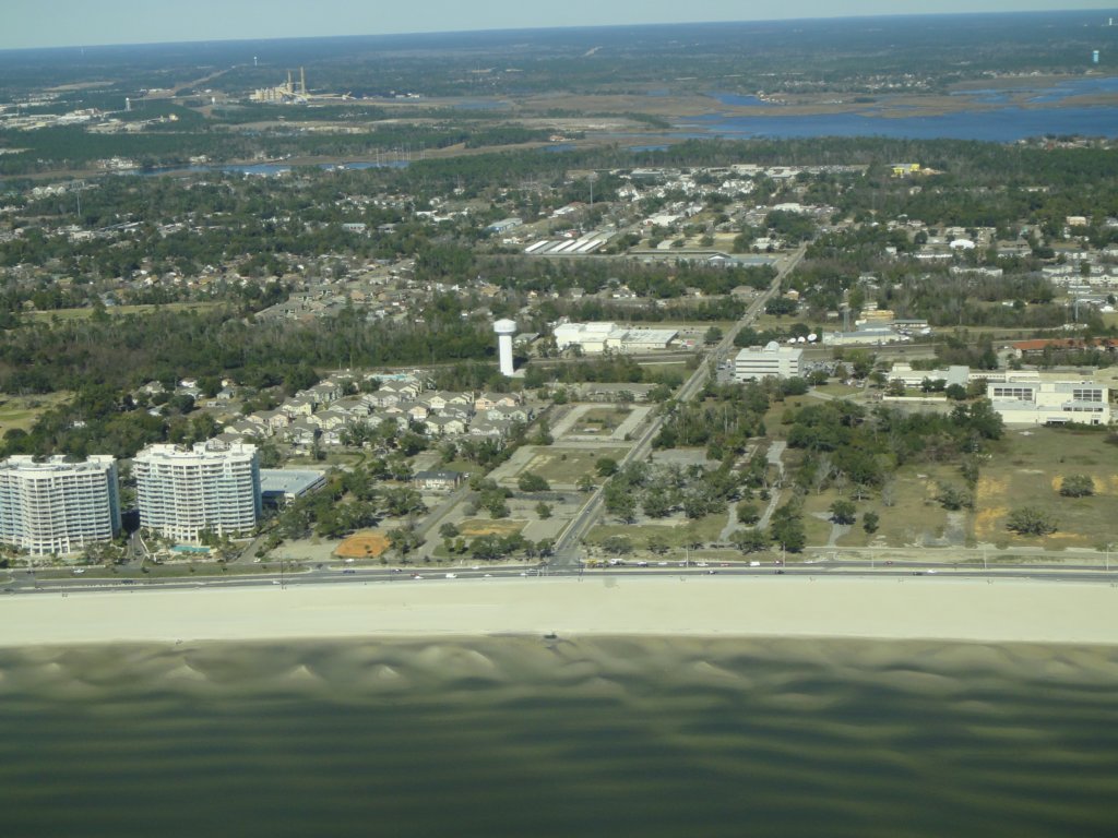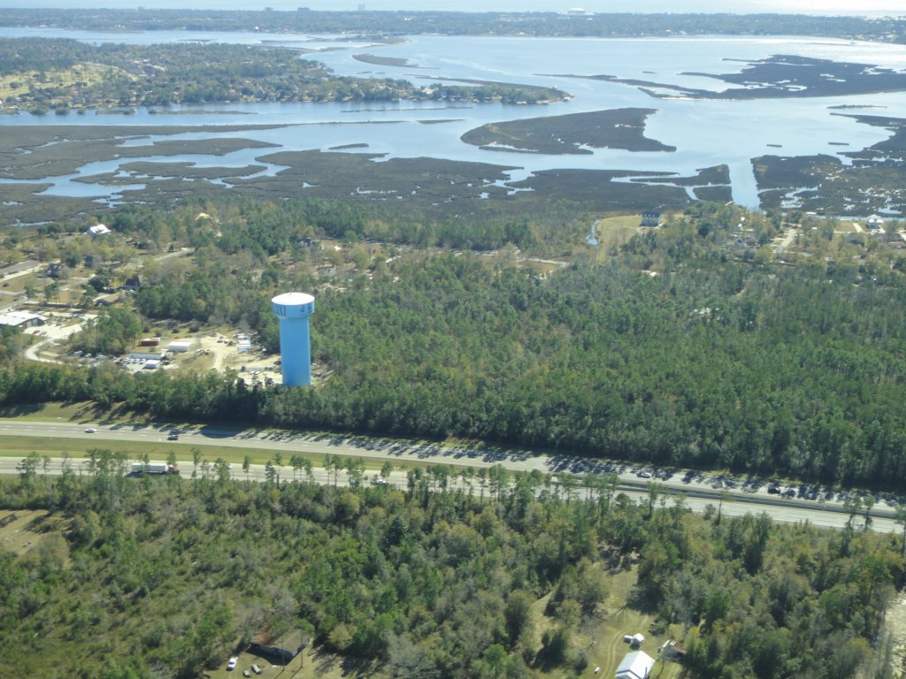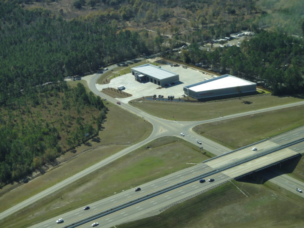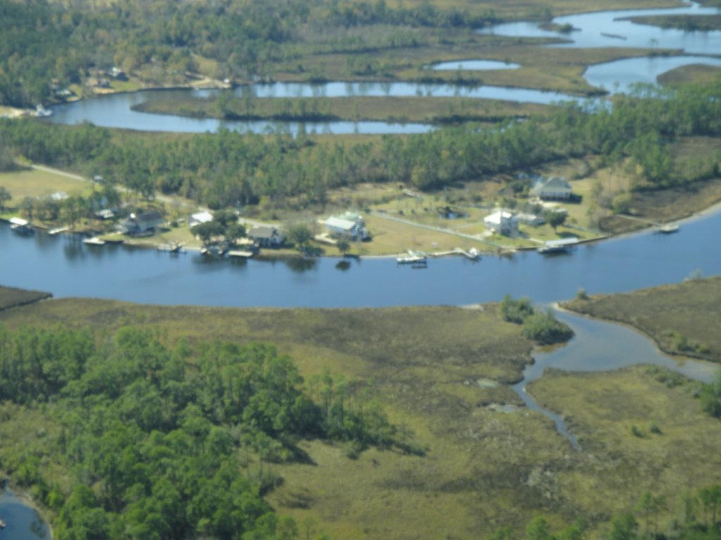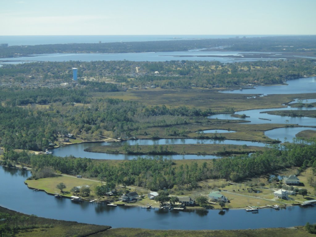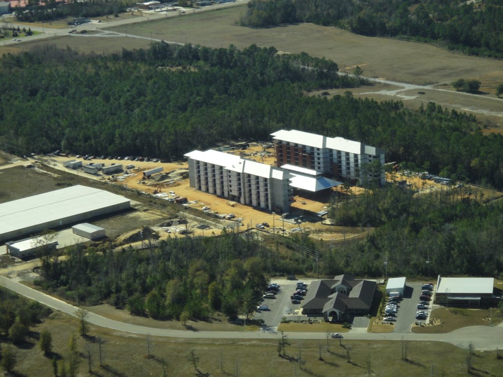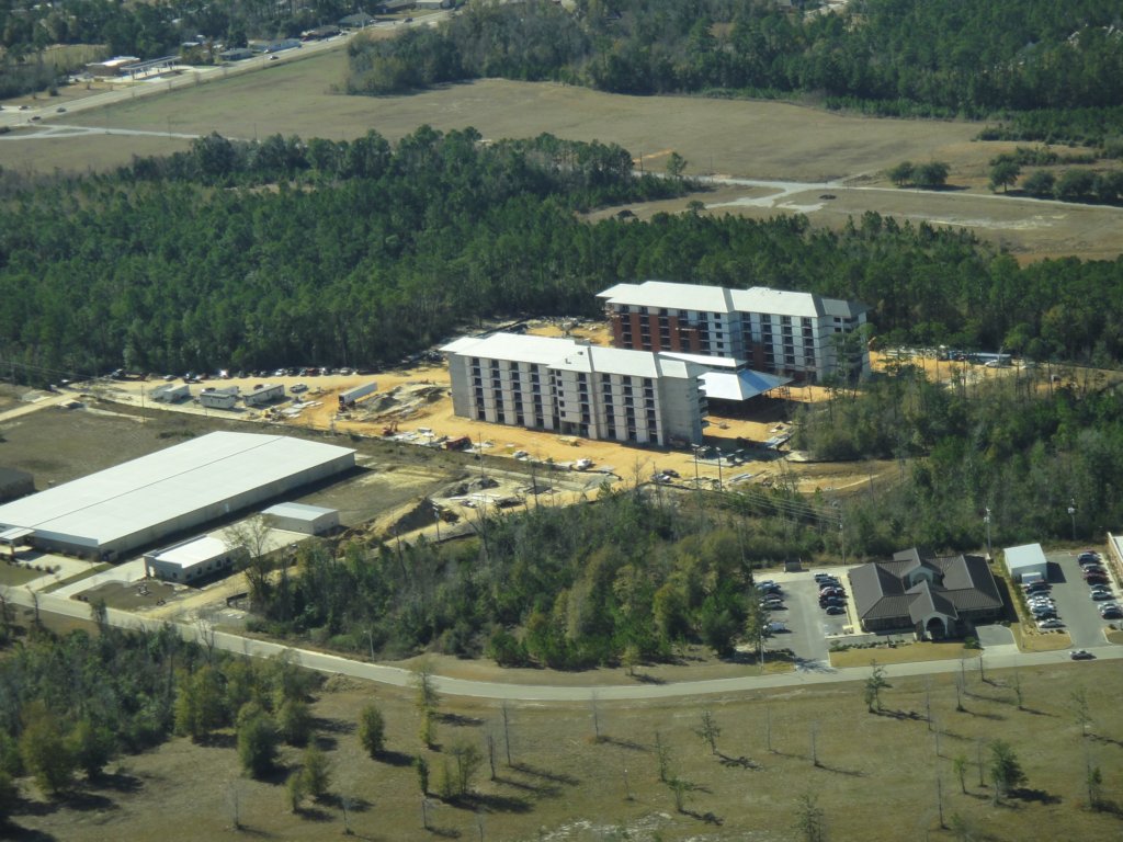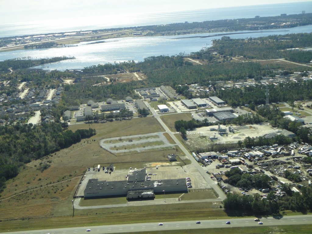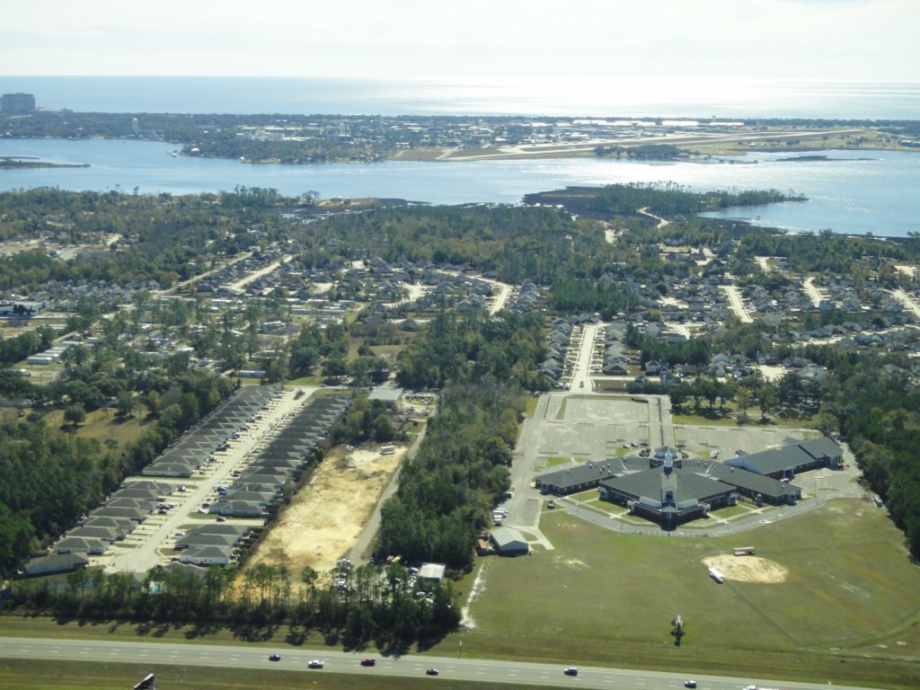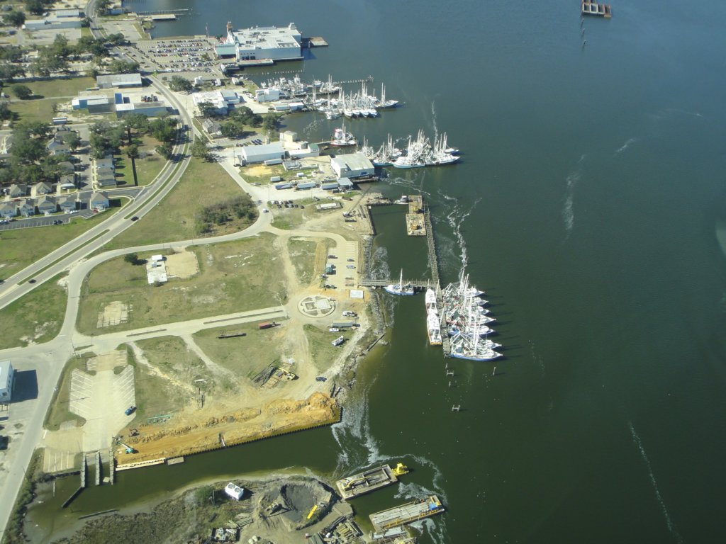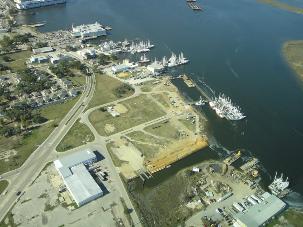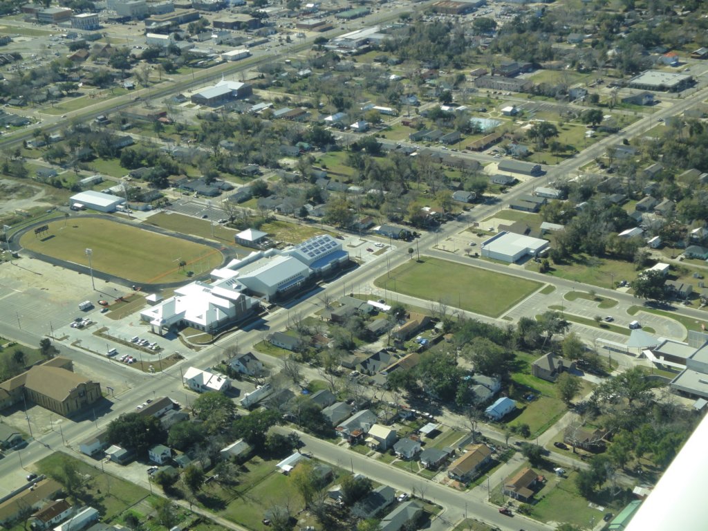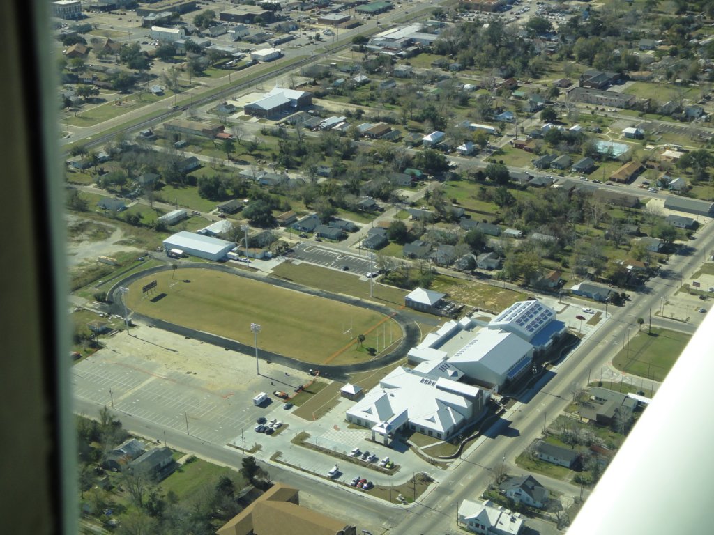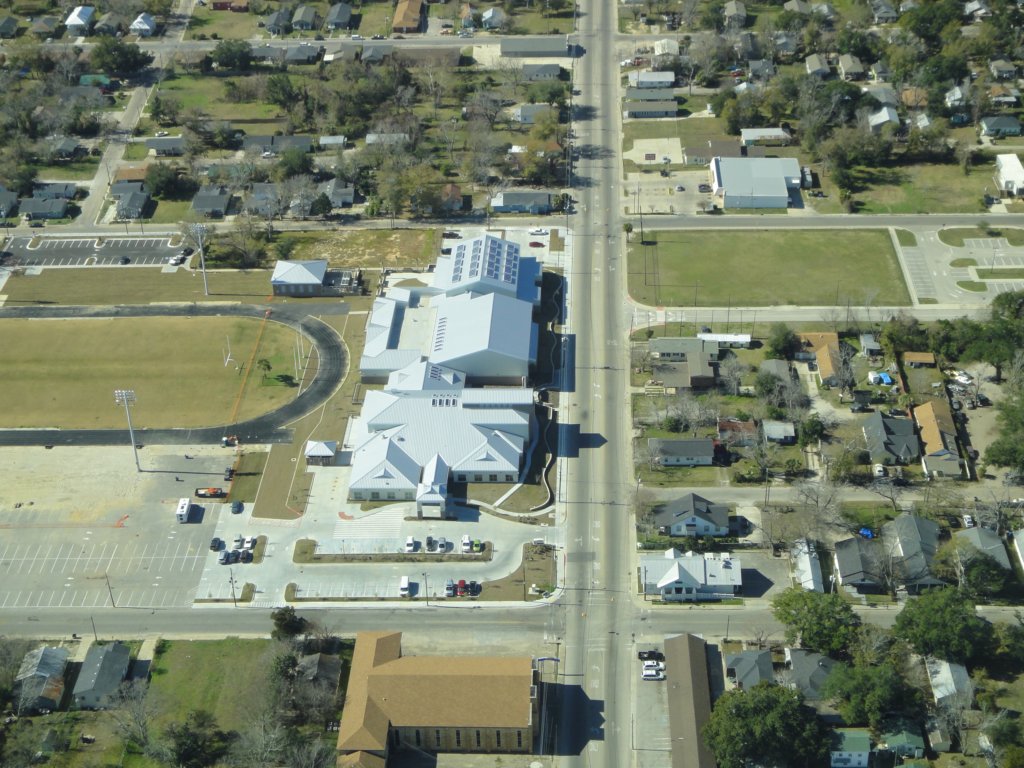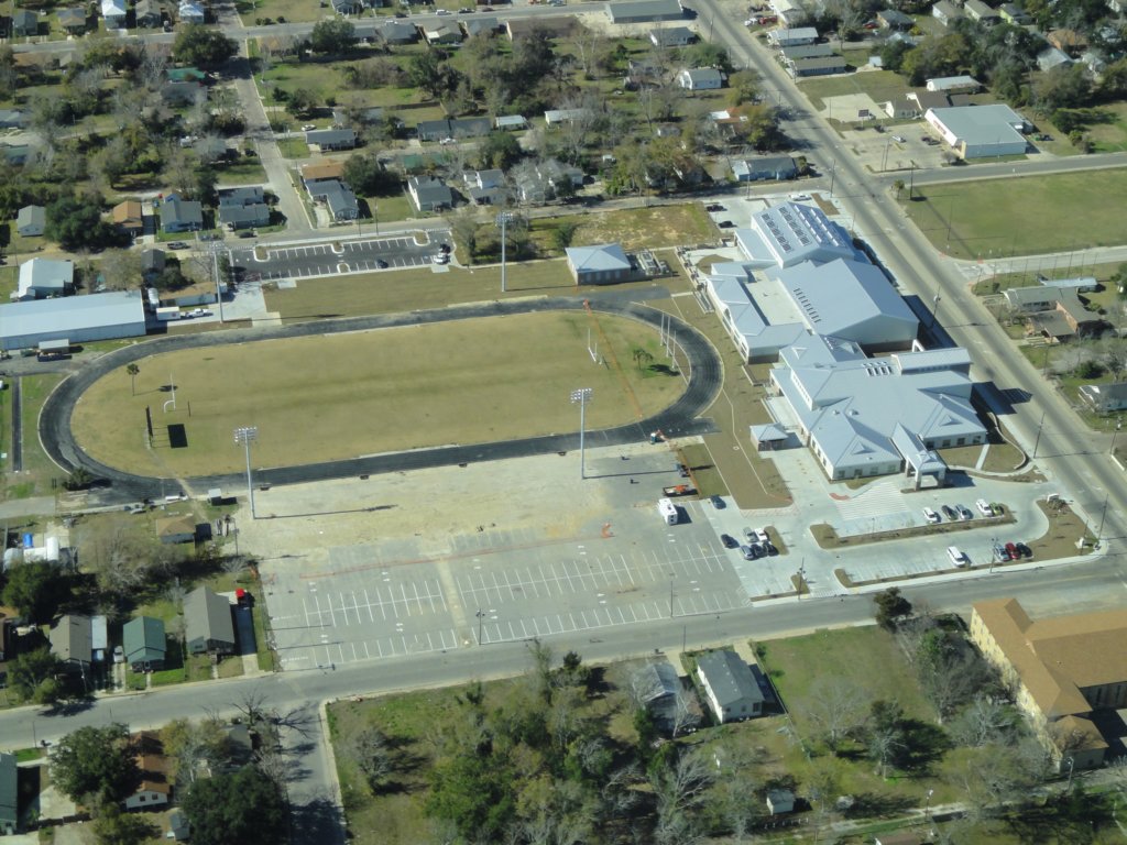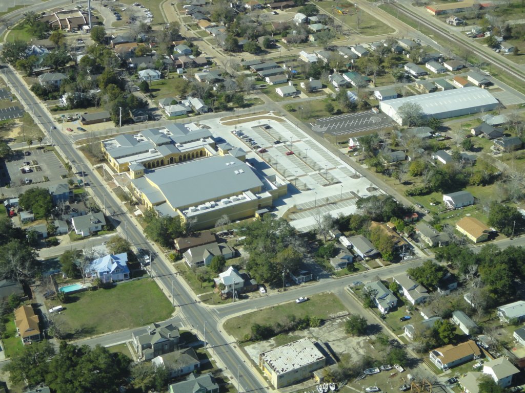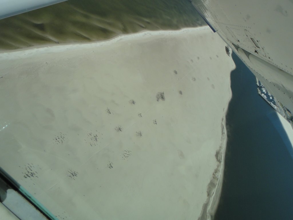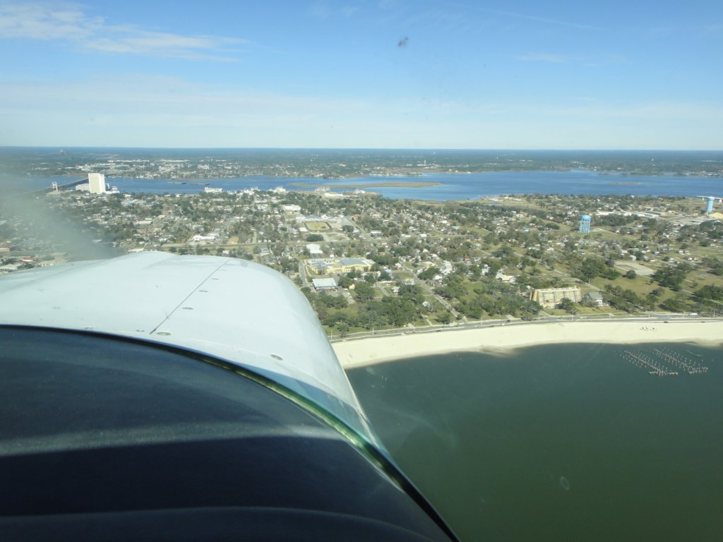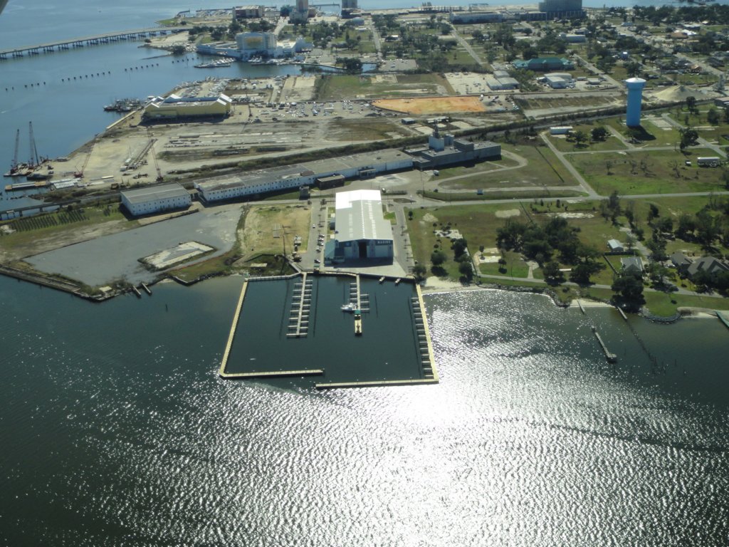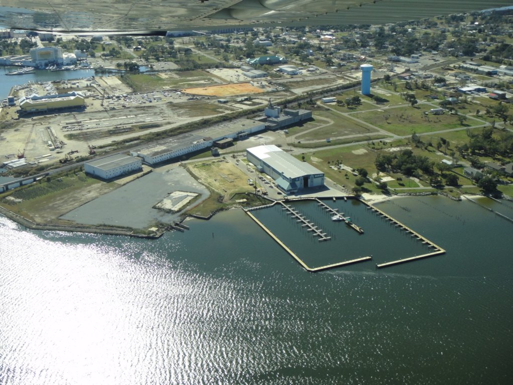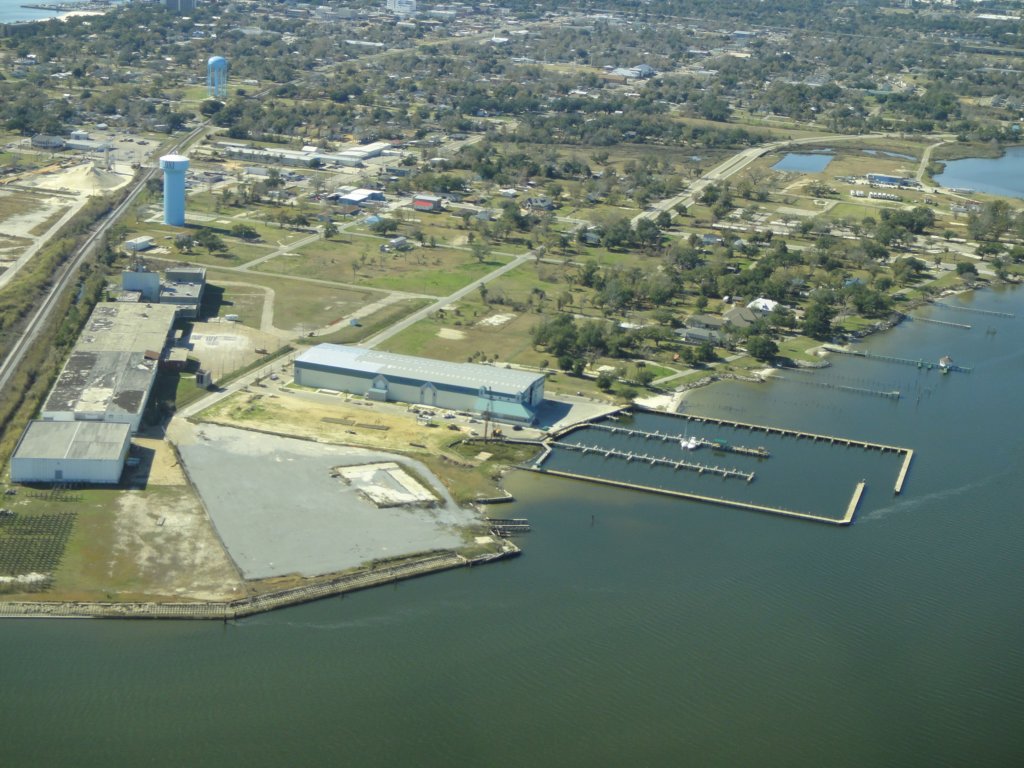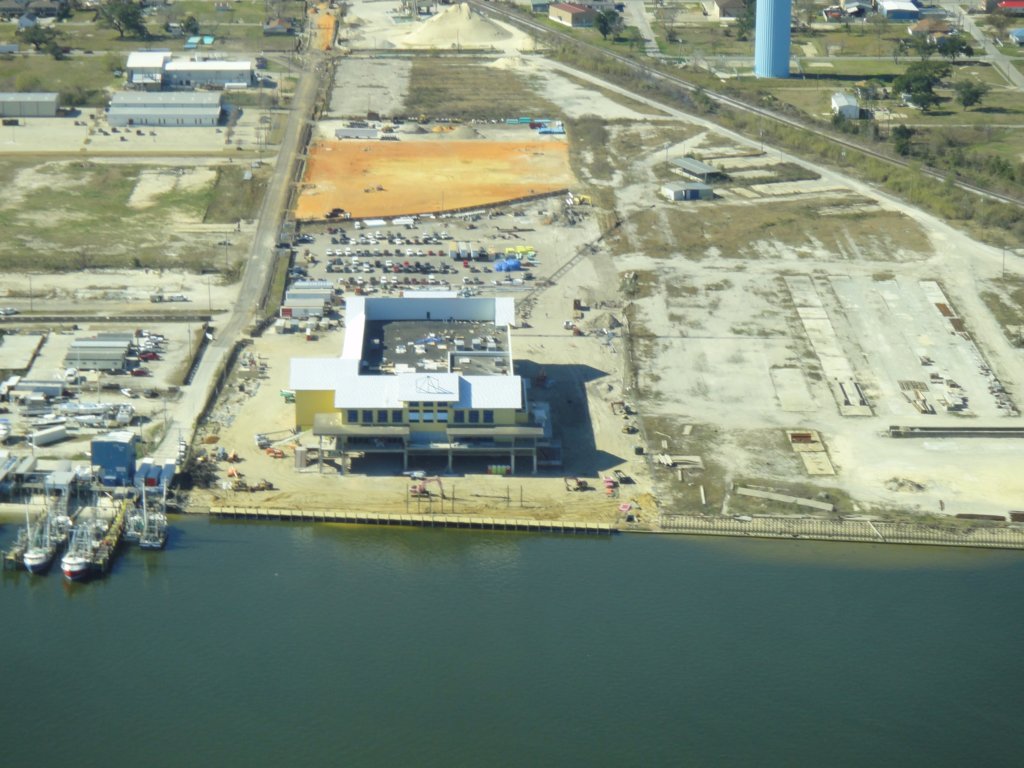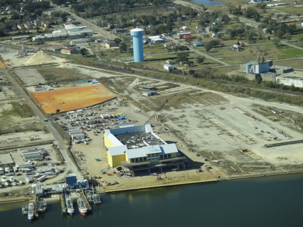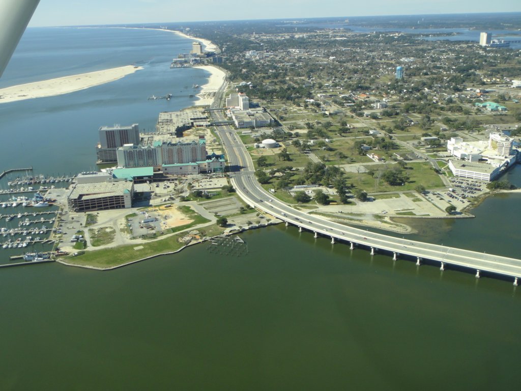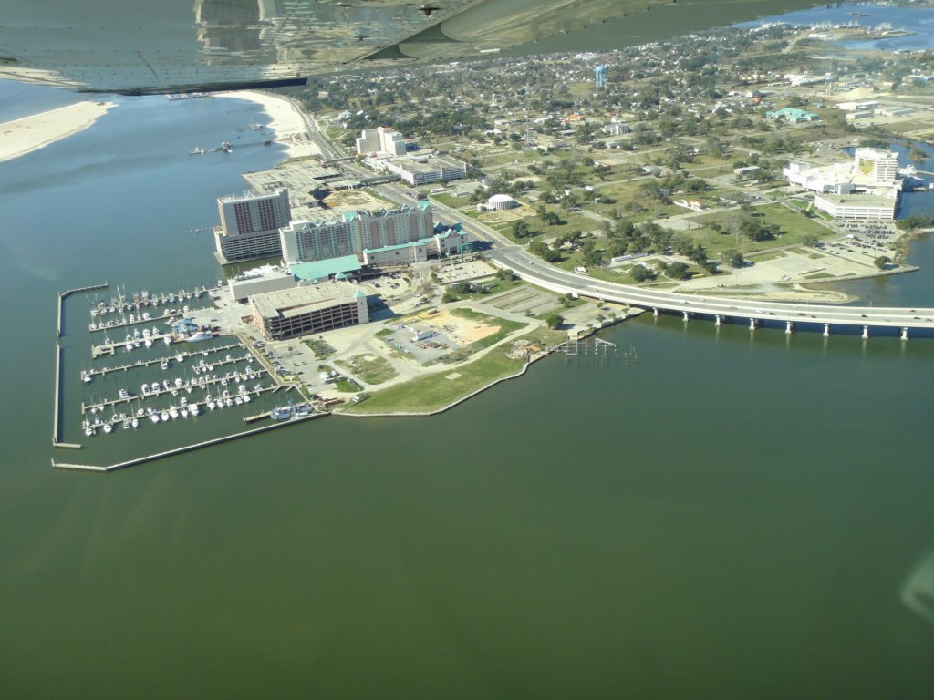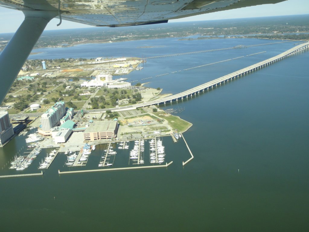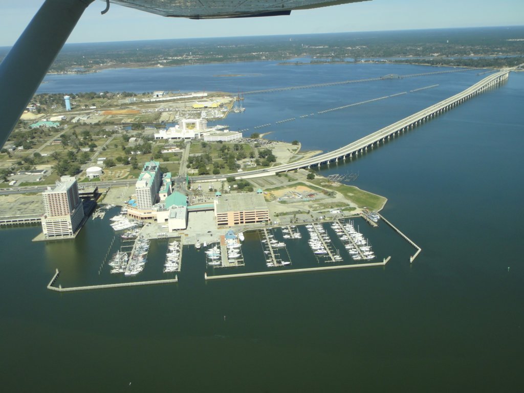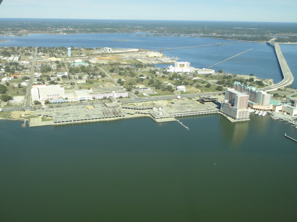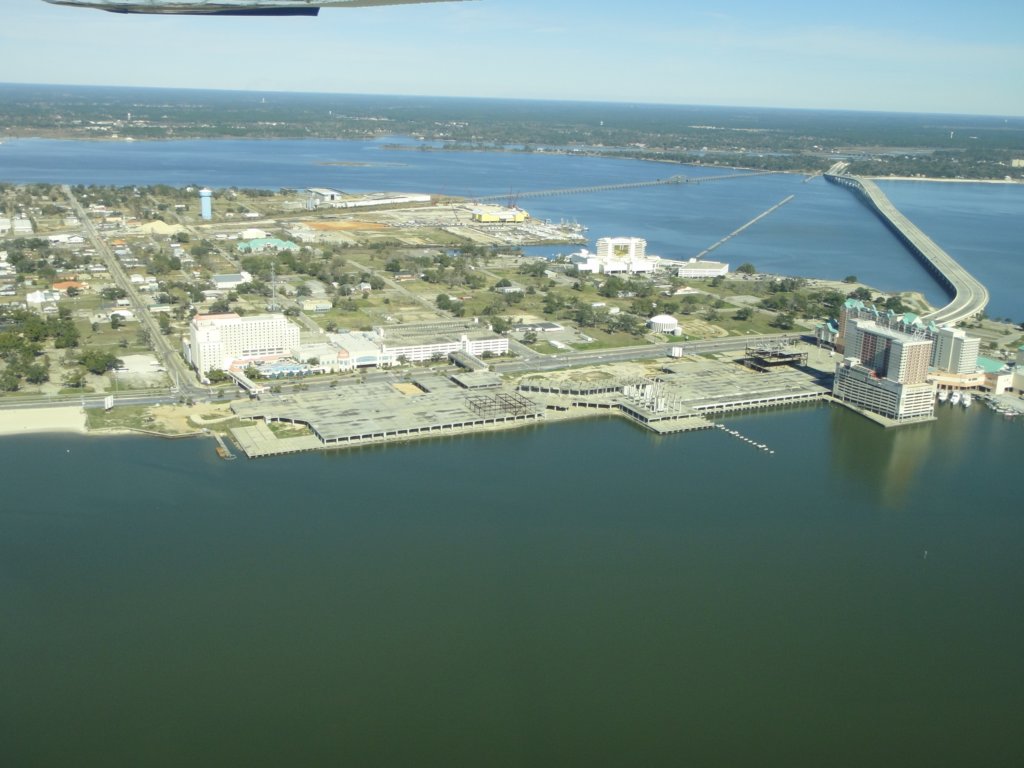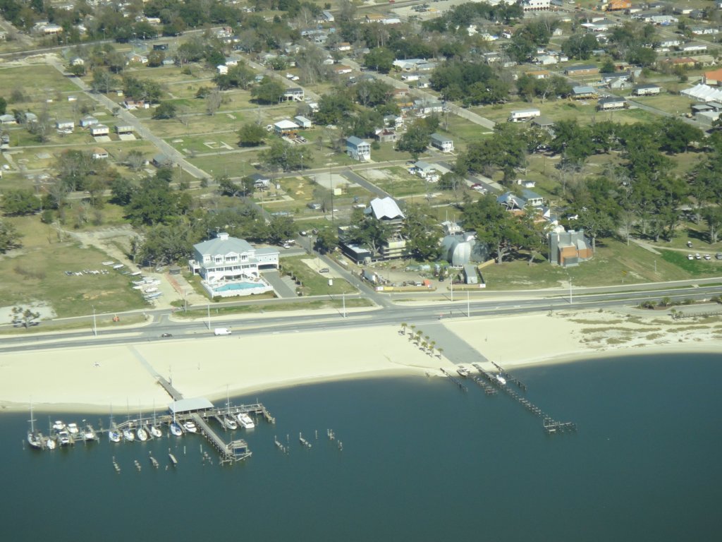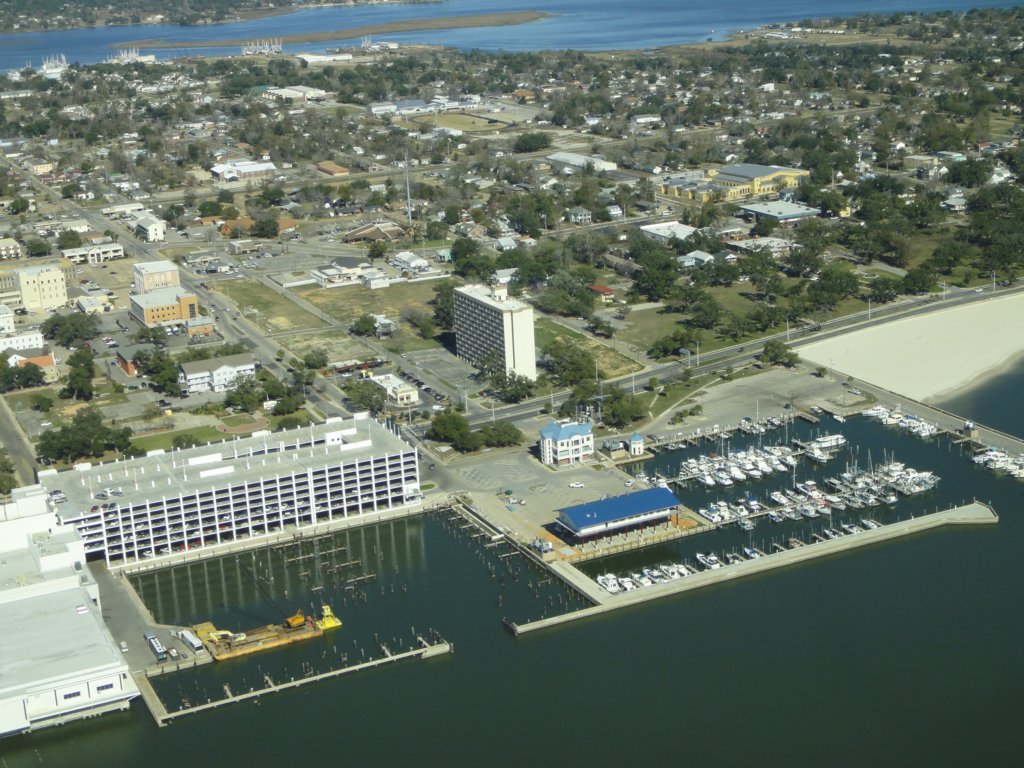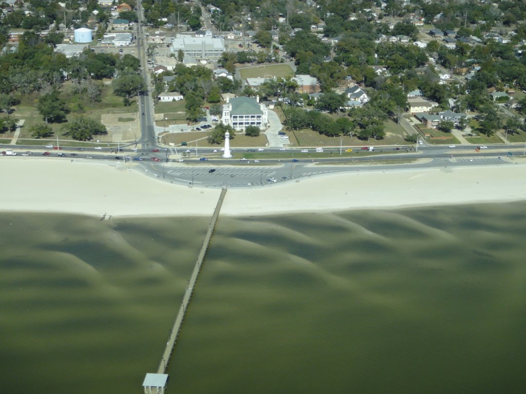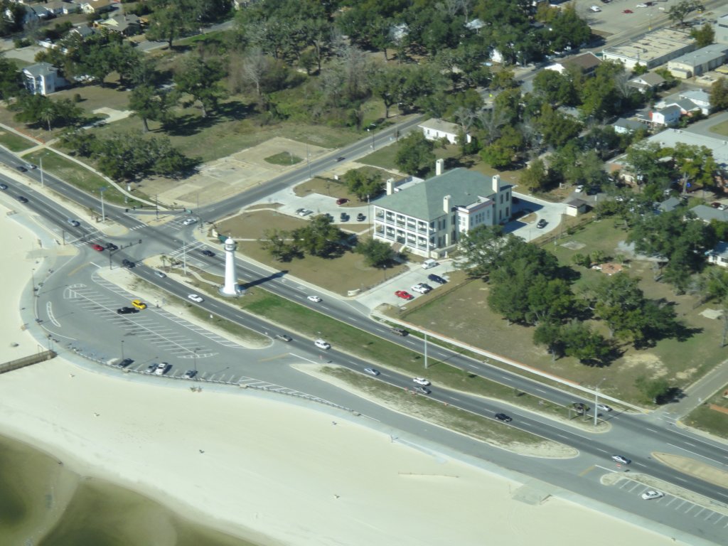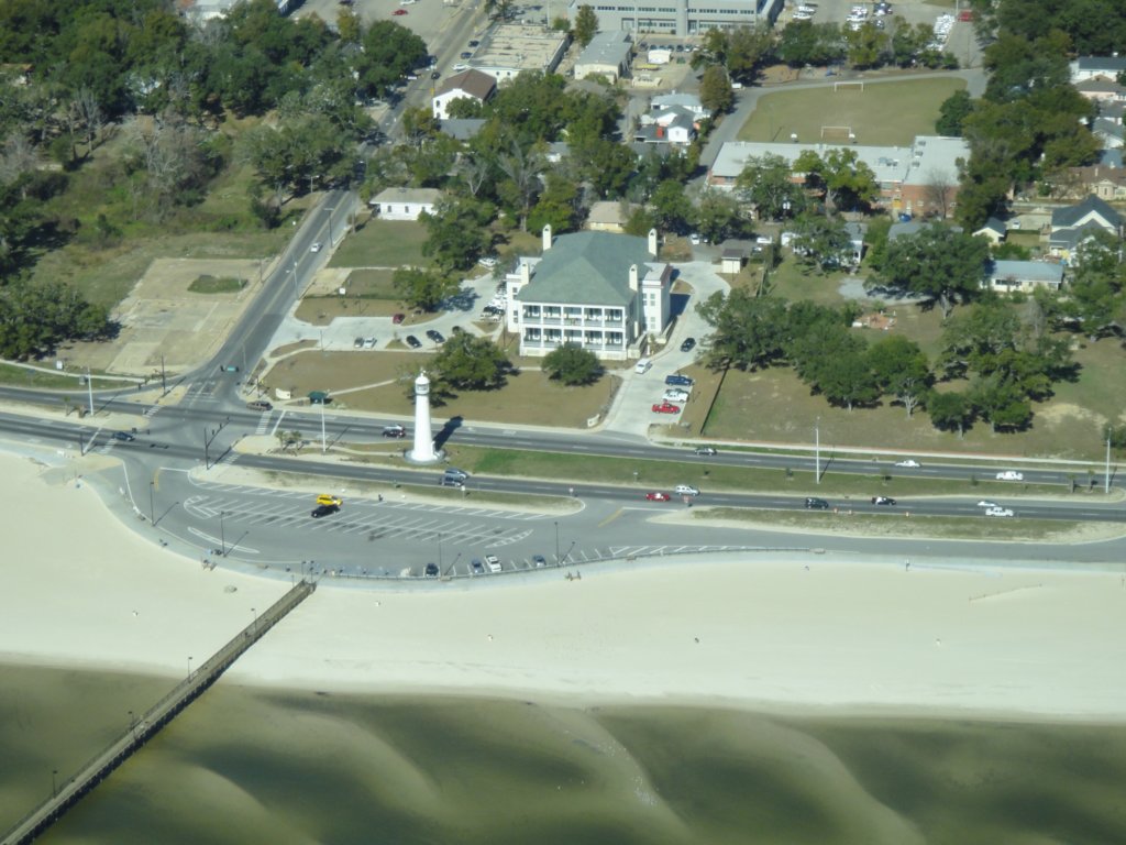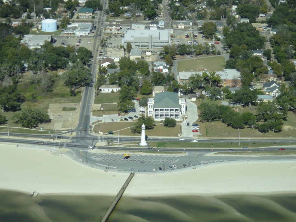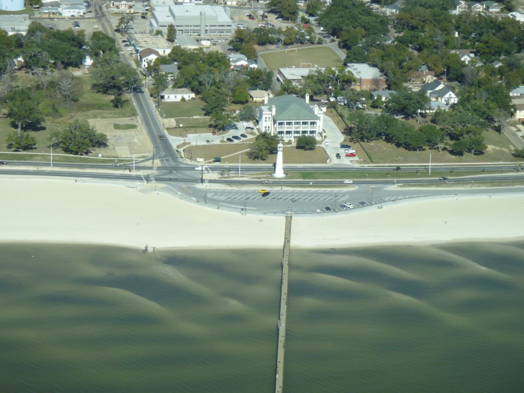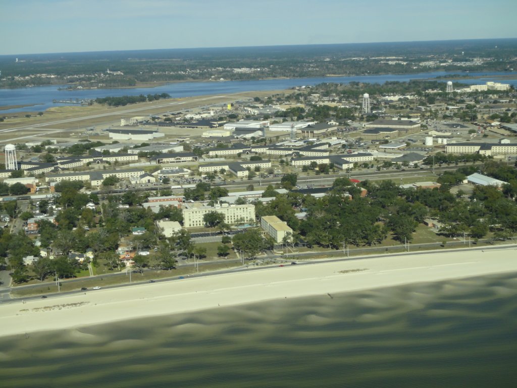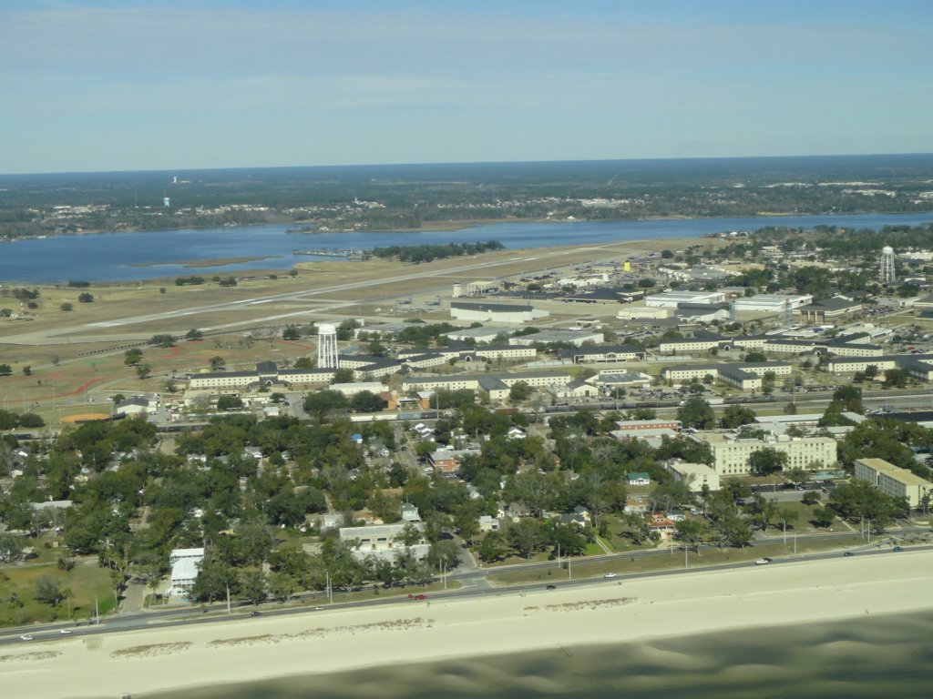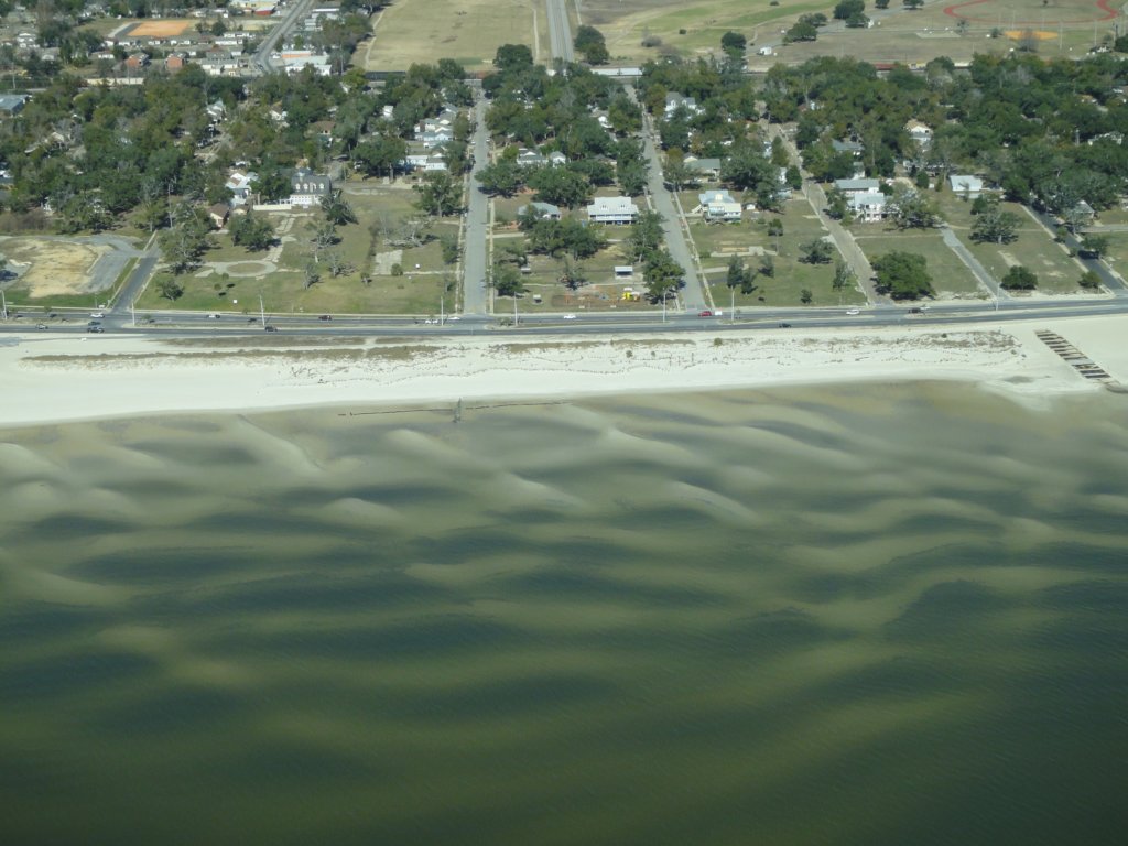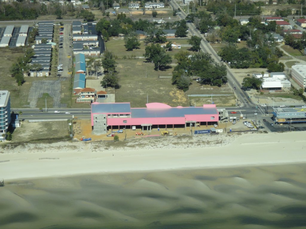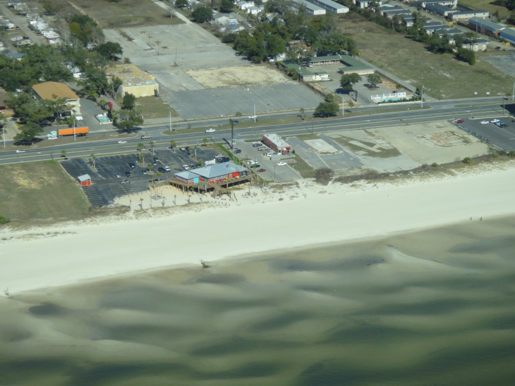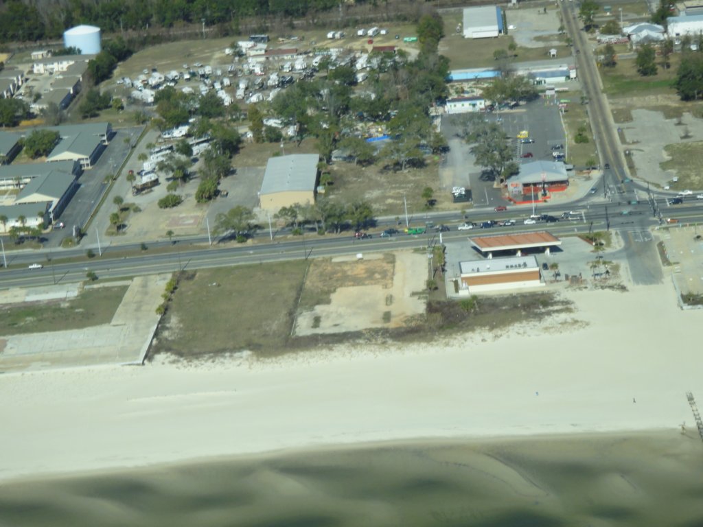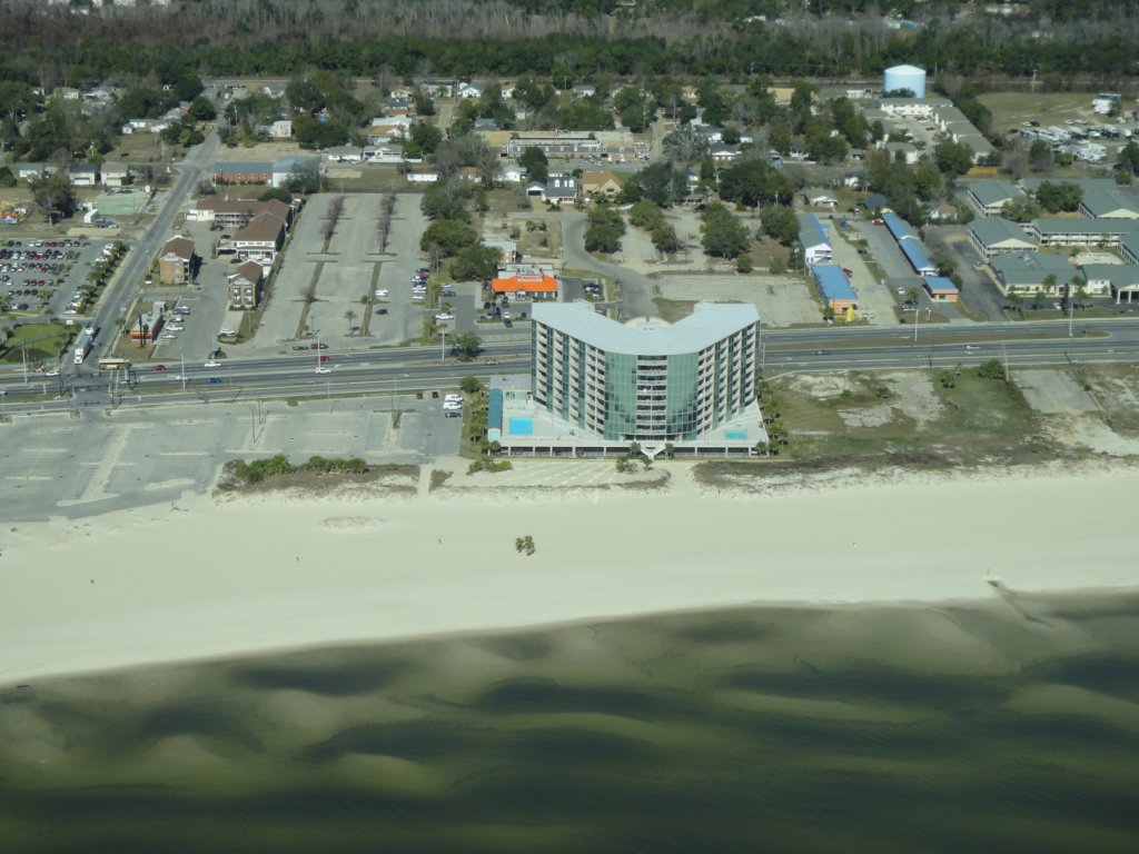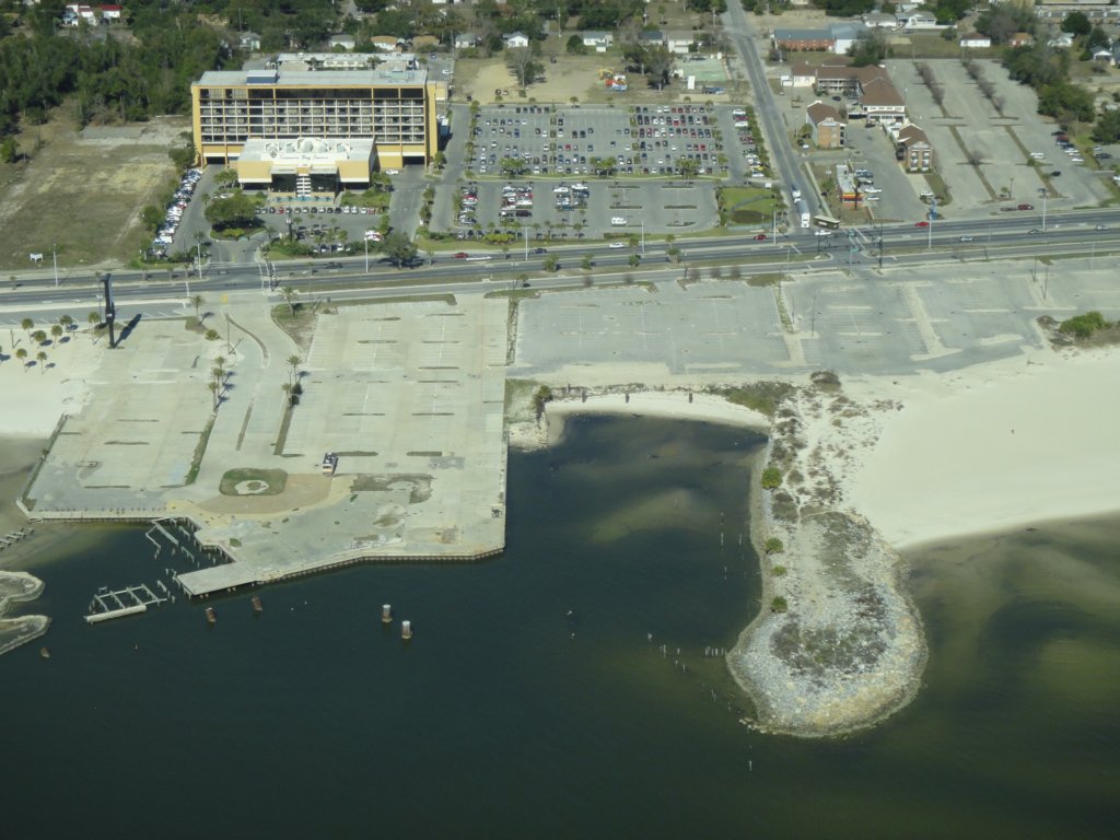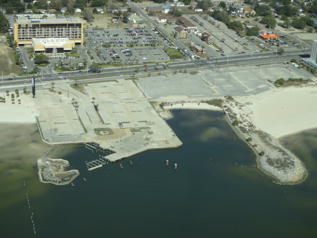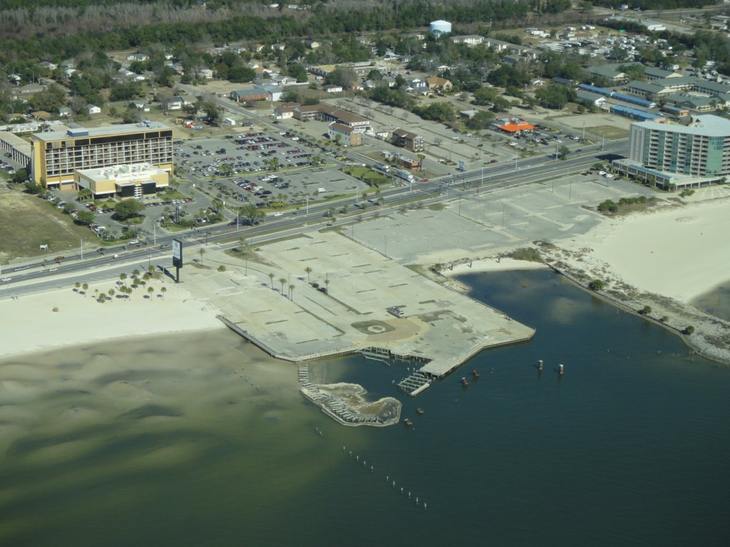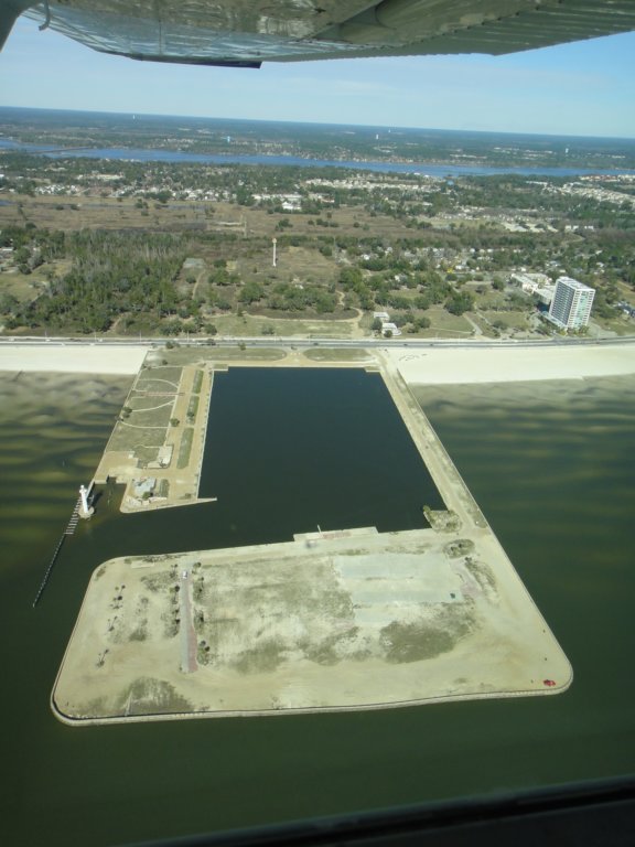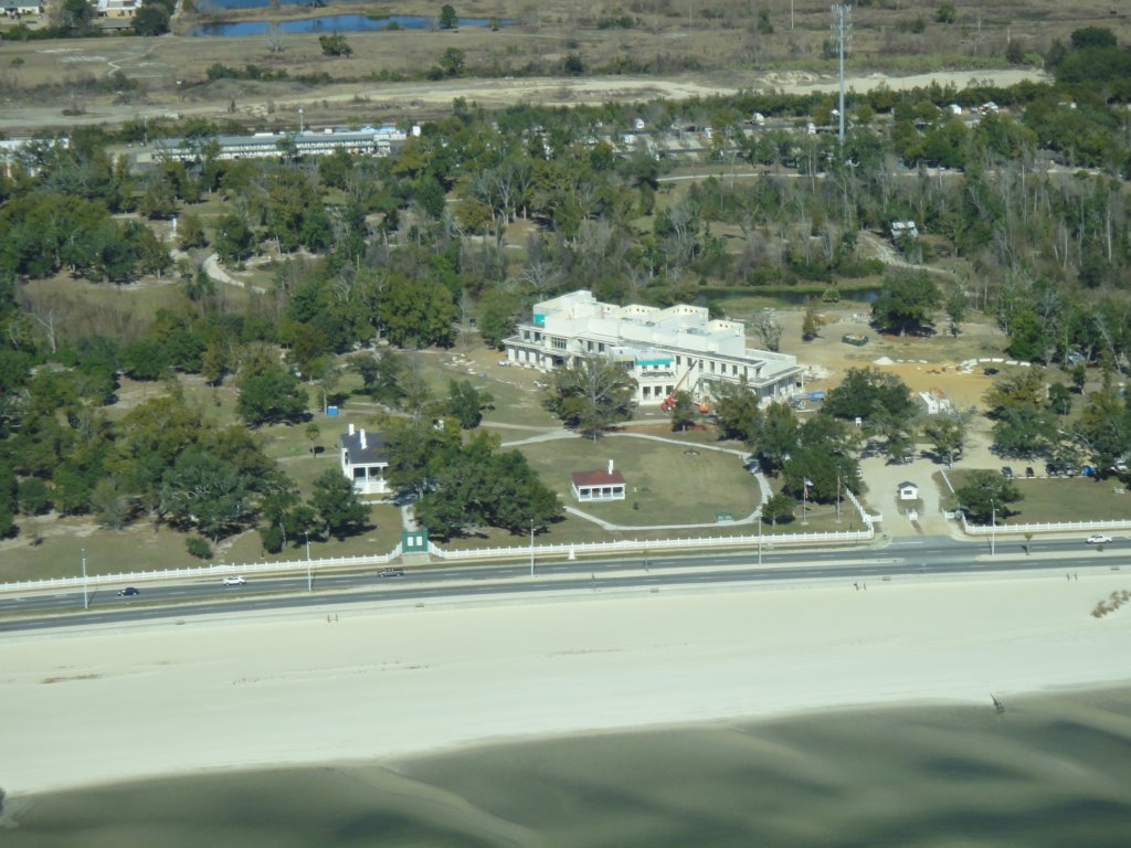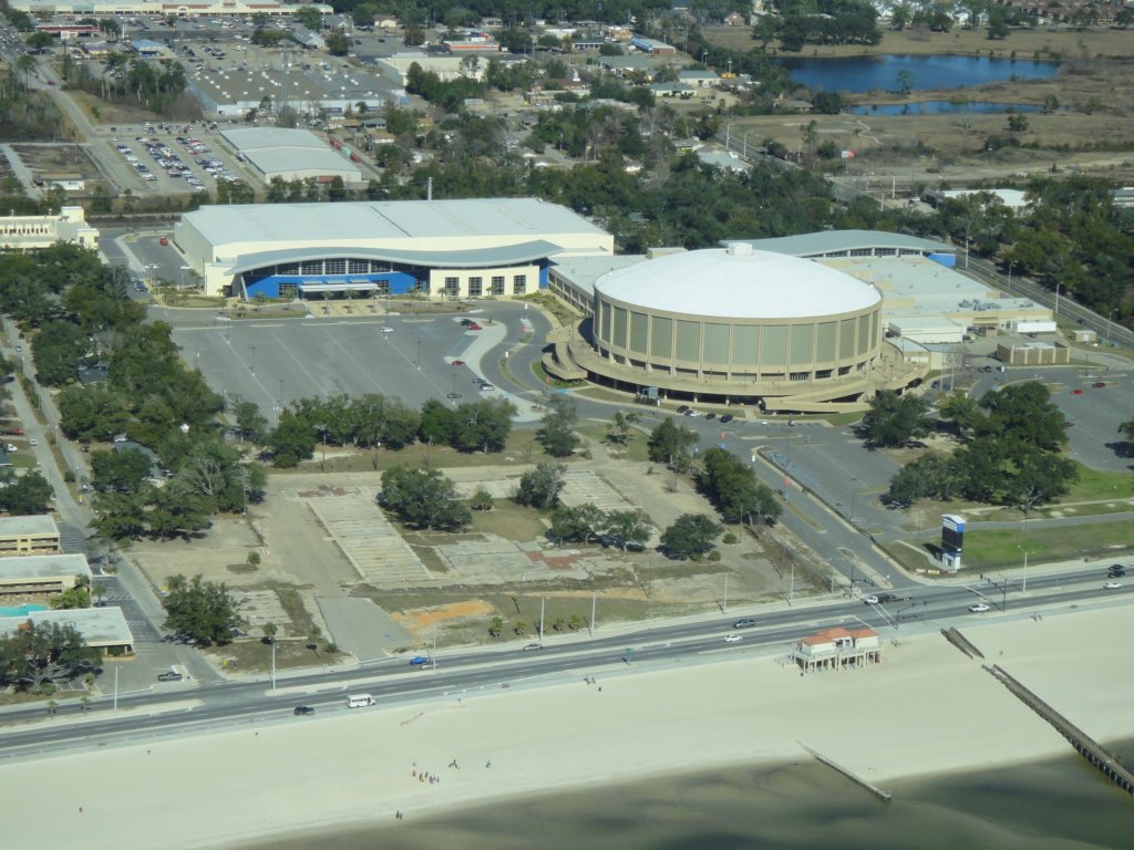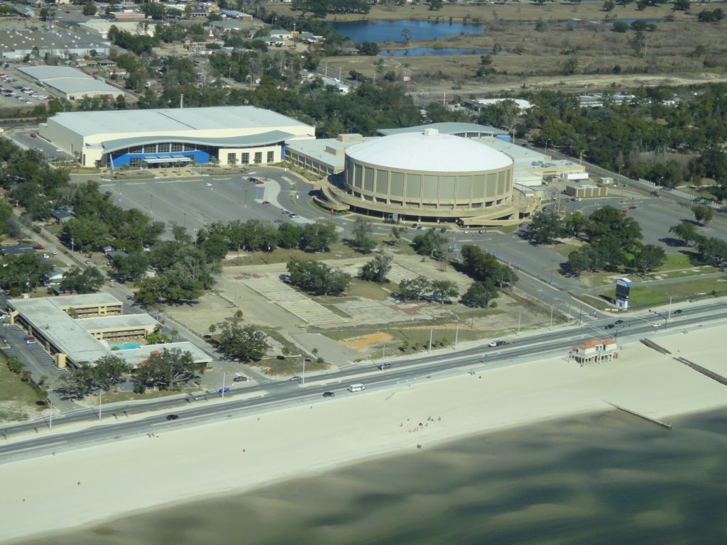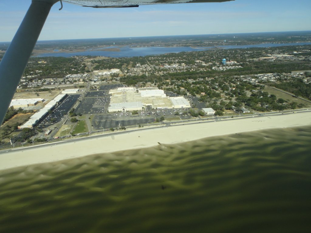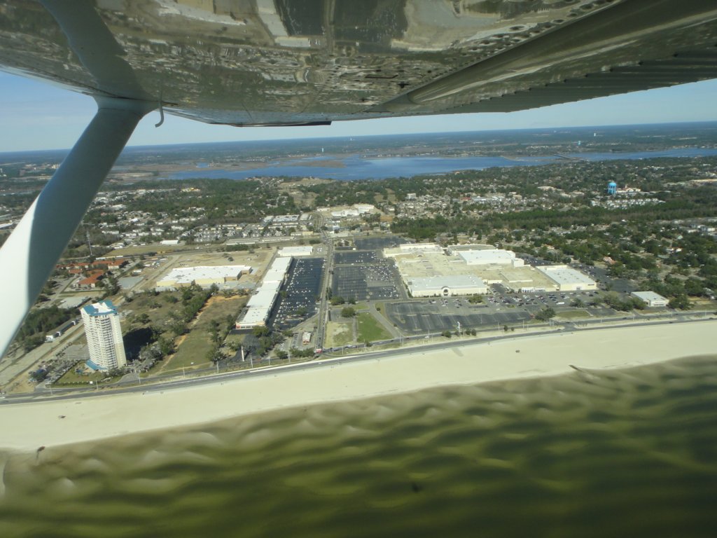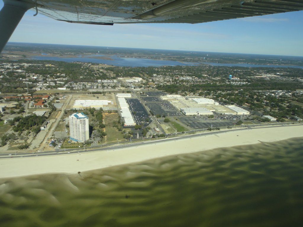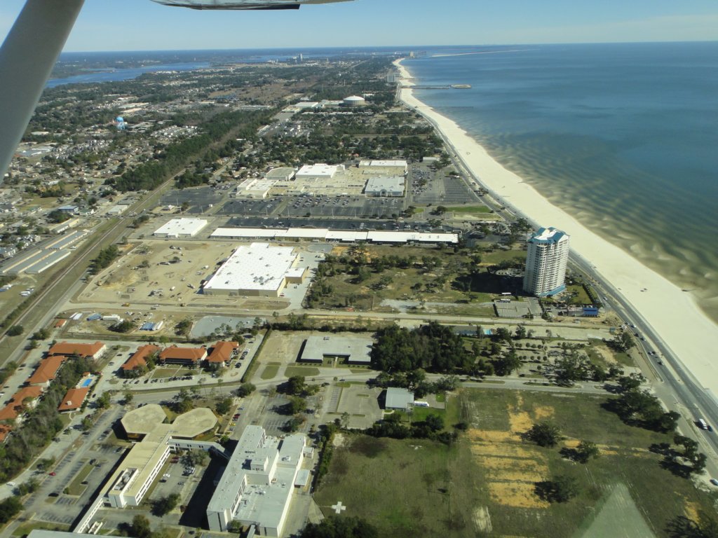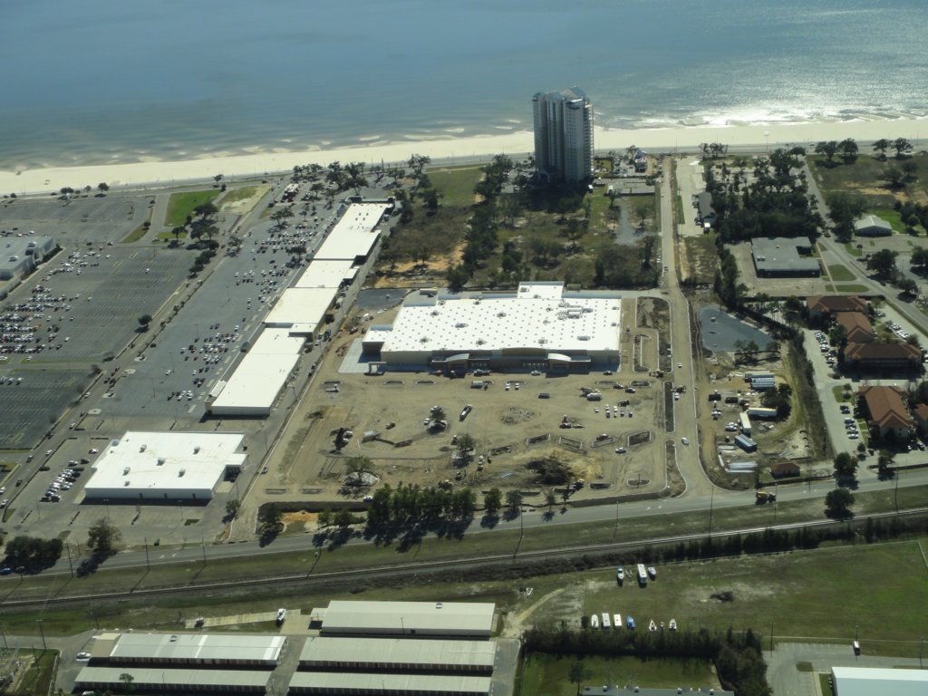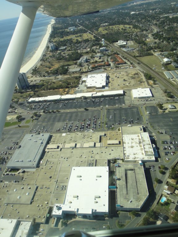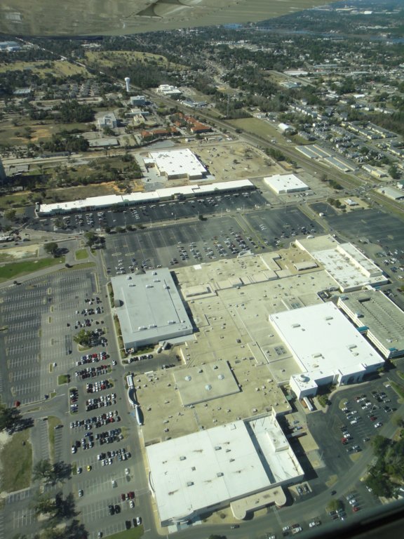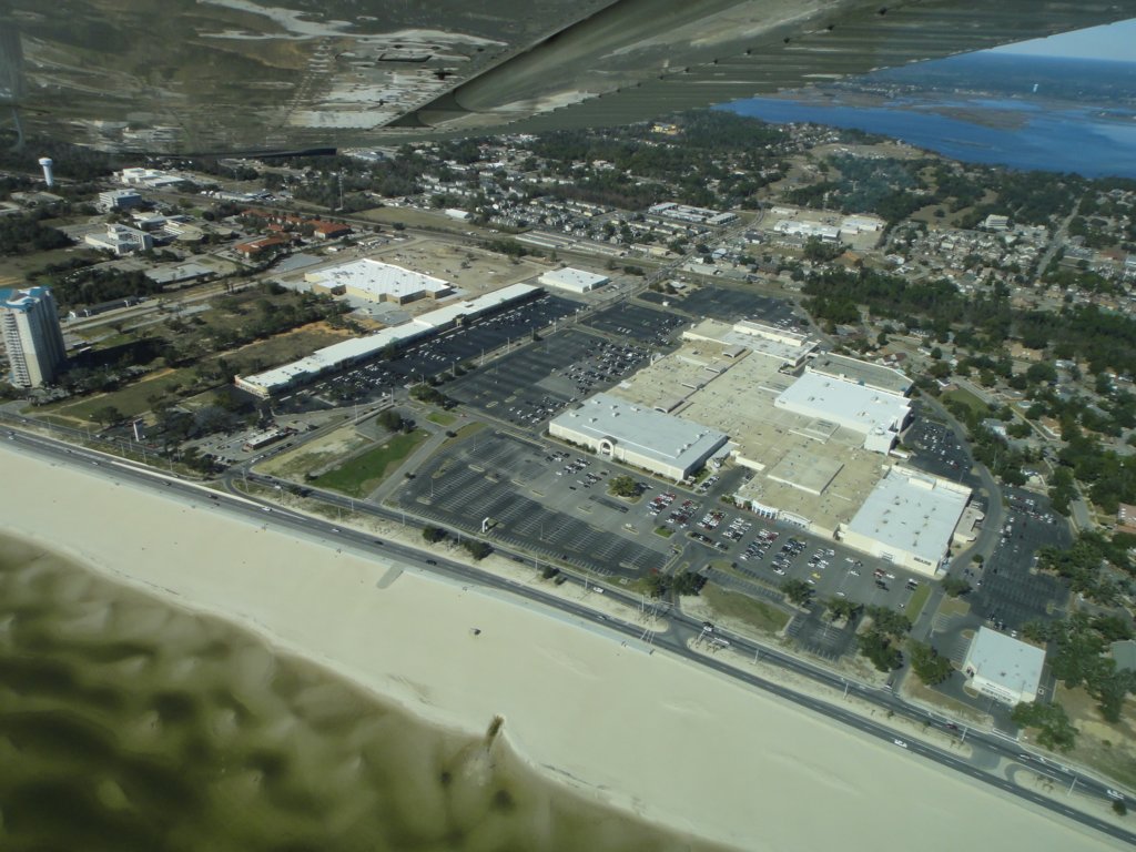
Here are aerial photographs of Biloxi taken Jan. 13, 2012. The aerial tour begins on the north side of the Biloxi peninsula, travels eastward to Point Cadet and westward along front beach, before turning northward. Among the sites photographed: the Popp’s Ferry bridge causeway area, Keesler, Kensington Drive and Back Bay Boulevard, Caillavet Street, I-110 and Biloxi Bay bridges, Point Cadet Marina, Margarativille, Biloxi Small Craft Harbor, front beach and west beach locations, Beauvoir and the Jefferson Davis Presidential Library, Mississippi Coast Coliseum and Convention Center, Edgewater Mall and northward into Woolmarket. Photos by the City of Biloxi/Vincent Creel. Pilot Susan Guice, Wings of Anglers. Click on images to enlarge.